File list
Jump to navigation
Jump to search
This special page shows all uploaded files.
| Date | Name | Thumbnail | Size | User | Description | Versions |
|---|---|---|---|---|---|---|
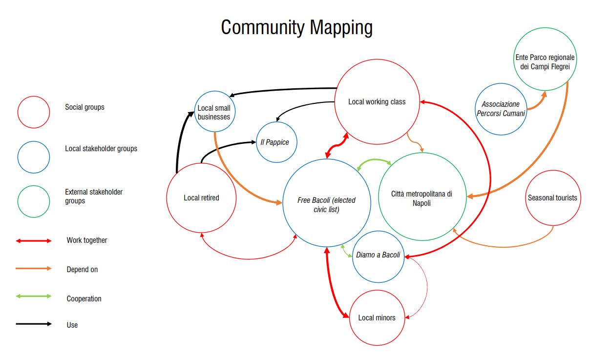
| 10:28, 22 April 2021 | Fusaro.community.mapping.JPG (file) |  |
87 KB | Theo.sejourne (talk | contribs) | 1 | |
| 09:51, 22 April 2021 | TMF1544 39 1.jpg (file) |  |
77 KB | Maria.meneres (talk | contribs) | 1 | |
| 09:50, 22 April 2021 | TM 1873 168K100 1.jpg (file) |  |
29 KB | Maria.meneres (talk | contribs) | 1 | |
| 09:49, 22 April 2021 | TKMTR6992M1240 1 pisipilt.jpg (file) |  |
600 KB | Maria.meneres (talk | contribs) | 1 | |
| 09:48, 22 April 2021 | EKMj58663M7584 1.JPG (file) |  |
221 KB | Maria.meneres (talk | contribs) | 1 | |
| 09:47, 22 April 2021 | TKMTR3561M666-A 1 pisipilt.jpg (file) |  |
503 KB | Maria.meneres (talk | contribs) | 1 | |
| 09:45, 22 April 2021 | ERMFk275 14 1.jpg (file) |  |
208 KB | Maria.meneres (talk | contribs) | 1 | |
| 09:43, 22 April 2021 | ERMFk358 343 1.jpg (file) |  |
169 KB | Maria.meneres (talk | contribs) | 1 | |
| 22:53, 21 April 2021 | Commap.png (file) |  |
281 KB | Yana.babakova (talk | contribs) | 1 | |
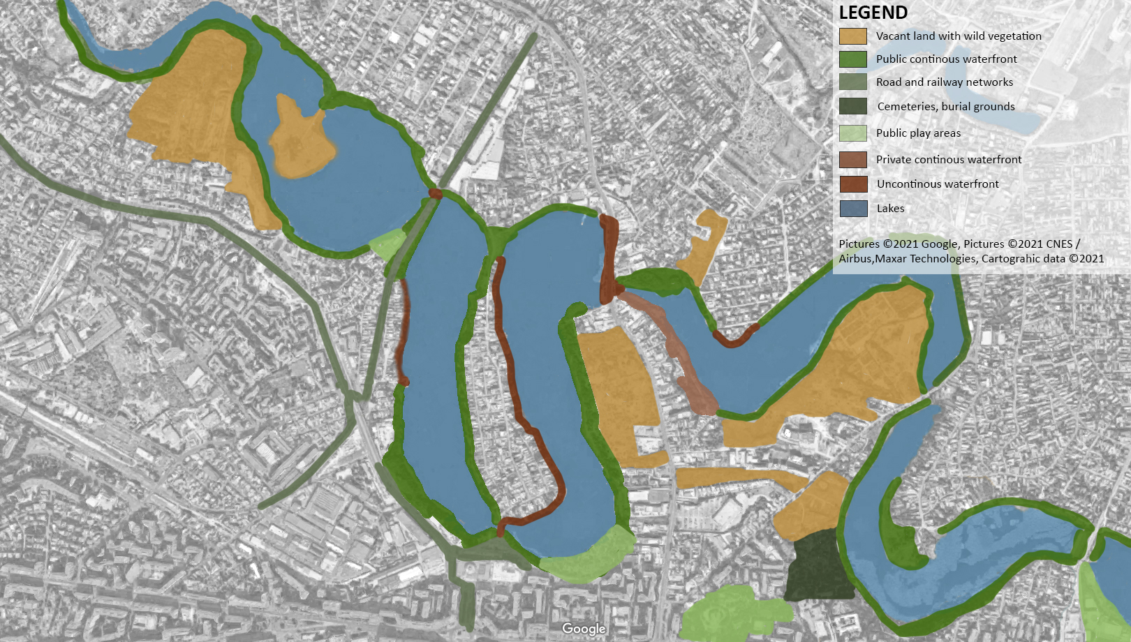
| 20:00, 21 April 2021 | Shoreline differences.jpg (file) |  |
702 KB | Pouriya.memlri (talk | contribs) | 1 | |
| 18:37, 21 April 2021 | Water accessibility.jpg (file) |  |
1.35 MB | Pouriya.memlri (talk | contribs) | Water accessibility based on different areas | 1 |
| 15:58, 21 April 2021 | Historical evolution mapping.jpg (file) |  |
613 KB | Ferdinando.romano (talk | contribs) | 1 | |
| 15:08, 21 April 2021 | Potenzialità naturali.jpg (file) |  |
683 KB | Ferdinando.romano (talk | contribs) | Landscape potential | 1 |
| 14:43, 21 April 2021 | Green Infrastructure.jpg (file) |  |
1.21 MB | Titiksha.rohit (talk | contribs) | 1 | |
| 14:29, 21 April 2021 | Blue Infrastructure.jpg (file) |  |
1.71 MB | Titiksha.rohit (talk | contribs) | 1 | |
| 11:46, 21 April 2021 | CastelloFondi2988TAW.jpg (file) |  |
547 KB | Leonardo.ossuto (talk | contribs) | 1 | |
| 11:46, 21 April 2021 | Copernicus QGIS redux.png (file) |  |
1.16 MB | Olaf.schroth (talk | contribs) | Overlay of the Copernicus DEM25, image layer WMS, riperian areas land use layers and the EU-Hydro dataset for the Danube watershed - open access data from https://land.copernicus.eu/ compiled in QGIS open source software | 1 |
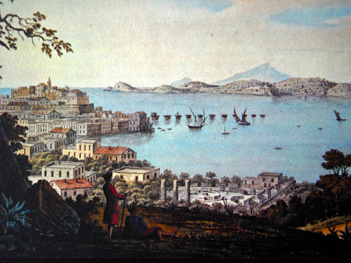
| 11:46, 21 April 2021 | I-fondi-di-baia.jpg (file) |  |
155 KB | Leonardo.ossuto (talk | contribs) | 1 | |
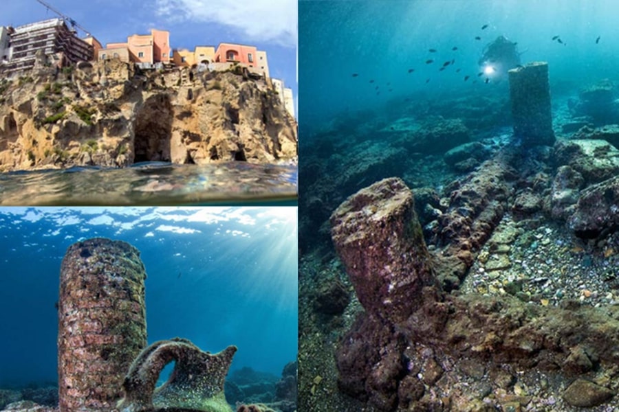
| 11:22, 21 April 2021 | Underwater.jpg (file) |  |
126 KB | Leonardo.ossuto (talk | contribs) | 1 | |
| 11:20, 21 April 2021 | Fondi-di-baia.jpg (file) |  |
164 KB | Leonardo.ossuto (talk | contribs) | 1 | |
| 11:19, 21 April 2021 | Stakeholders.jpg (file) |  |
263 KB | Leonardo.ossuto (talk | contribs) | 1 | |
| 11:16, 21 April 2021 | Immagine5.jpg (file) |  |
129 KB | Leonardo.ossuto (talk | contribs) | 1 | |
| 11:14, 21 April 2021 | Immagine4.jpg (file) |  |
48 KB | Leonardo.ossuto (talk | contribs) | 1 | |
| 11:12, 21 April 2021 | Immagine3.jpg (file) |  |
57 KB | Leonardo.ossuto (talk | contribs) | 1 | |
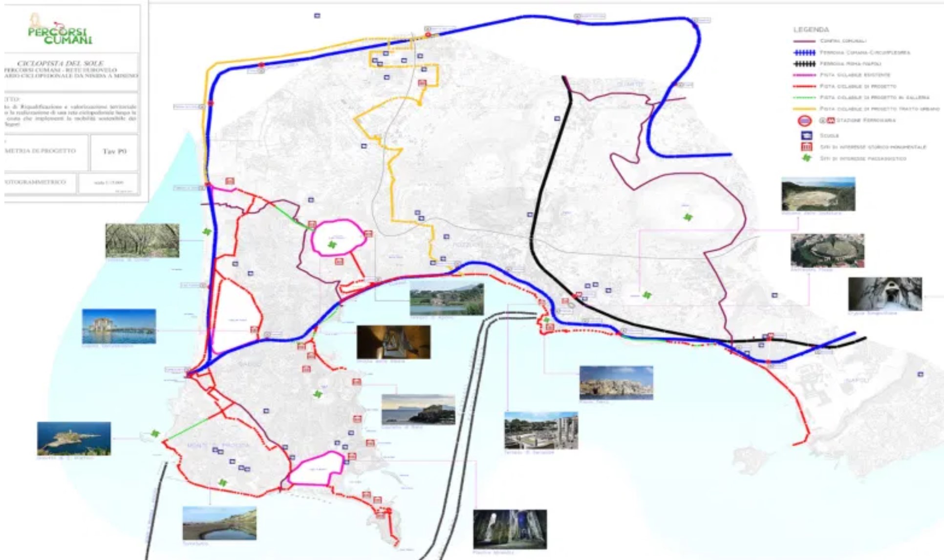
| 11:03, 21 April 2021 | Percorsi cumani.jpg (file) |  |
257 KB | Leonardo.ossuto (talk | contribs) | 1 | |
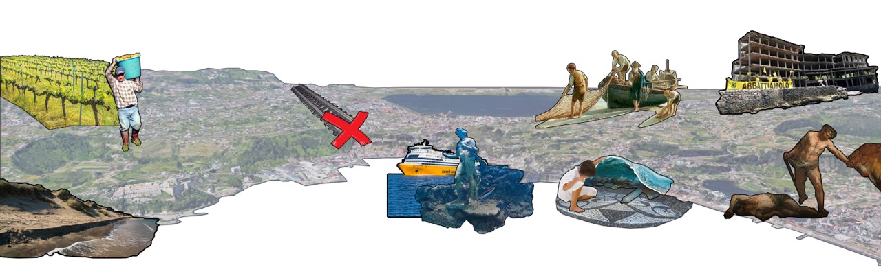
| 10:22, 21 April 2021 | WORST CASE SCENARIO.jpg (file) |  |
1.22 MB | Alexandra.lungu (talk | contribs) | 1 | |
| 09:33, 21 April 2021 | Caricare.jpg (file) |  |
1.57 MB | Ferdinando.romano (talk | contribs) | 1 | |
| 09:16, 21 April 2021 | Accessibility prova.jpg (file) |  |
630 KB | Ferdinando.romano (talk | contribs) | Accessibilityi about Phlegraean Fields | 1 |
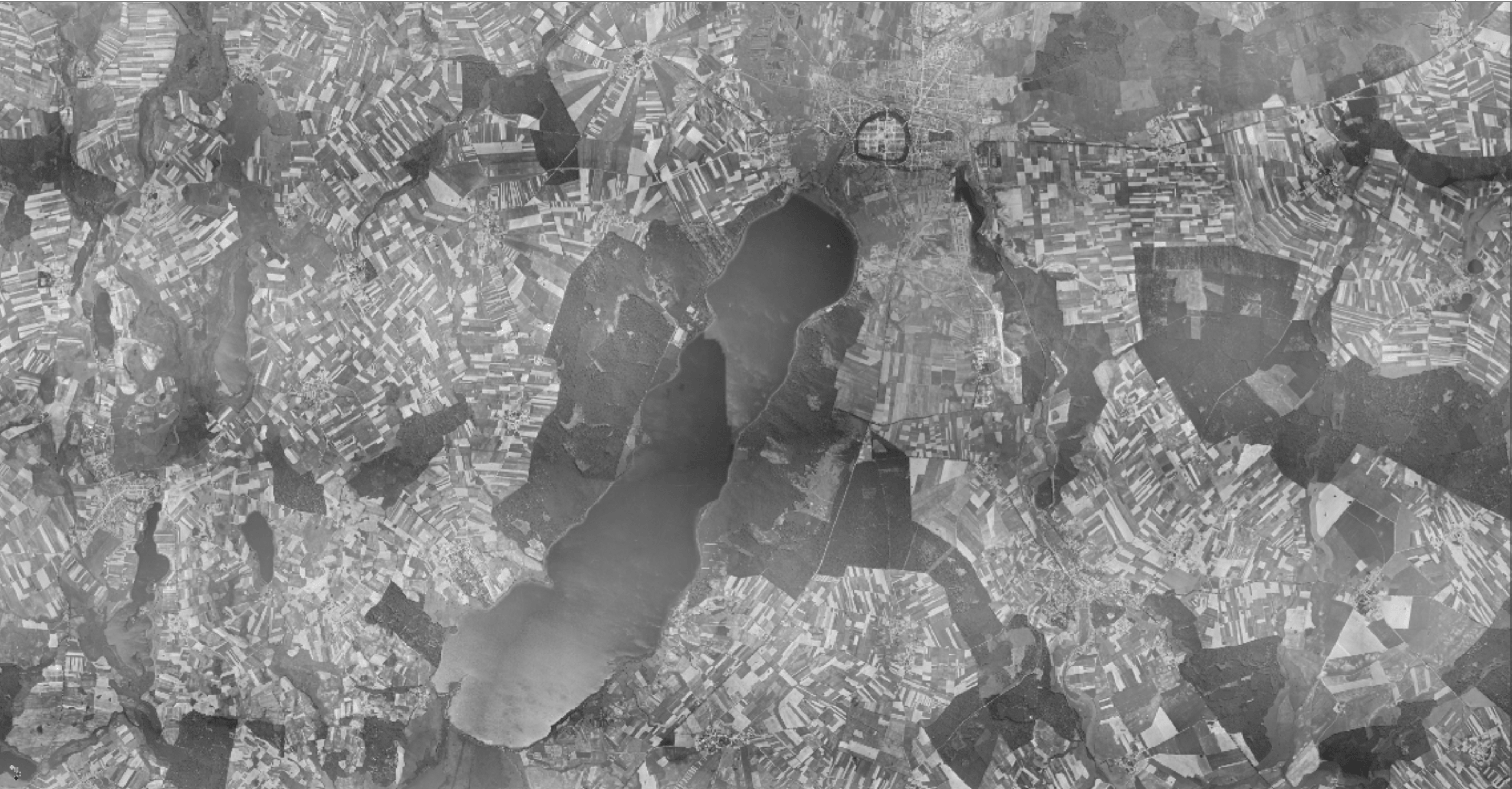
| 07:35, 21 April 2021 | Neubrandenburg 1953.png (file) |  |
1.68 MB | Malak.habbine (talk | contribs) | 1 | |
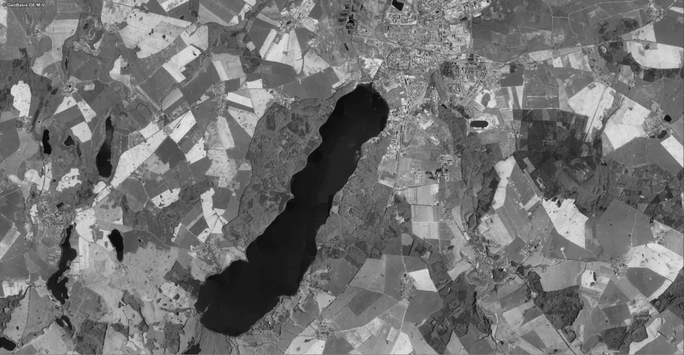
| 07:34, 21 April 2021 | Neubrandenburg 1991.png (file) |  |
1.66 MB | Malak.habbine (talk | contribs) | 1 | |
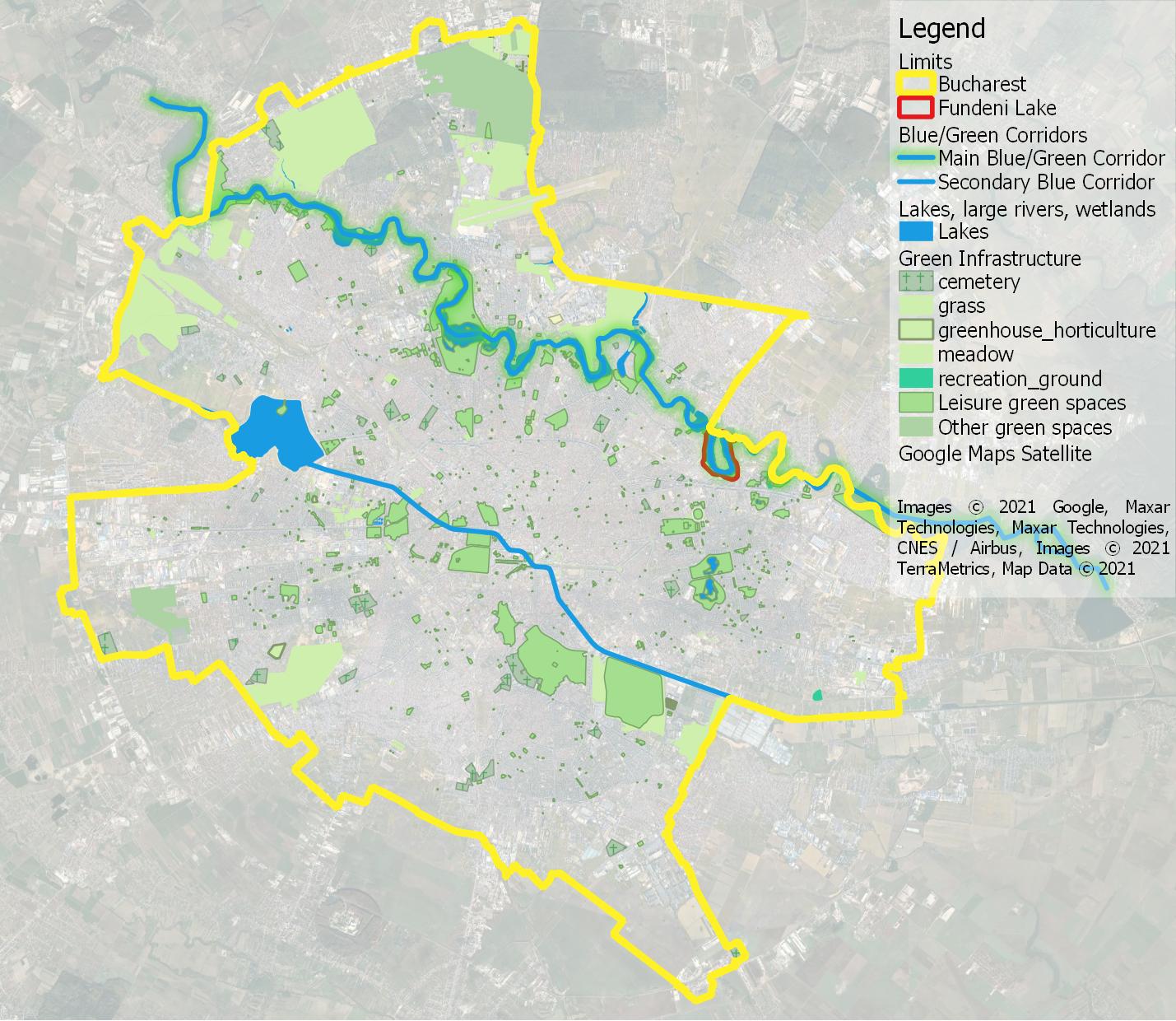
| 06:00, 21 April 2021 | Fundeni2 blue green 2.jpg (file) |  |
259 KB | Alexandru.milea (talk | contribs) | 3 | |
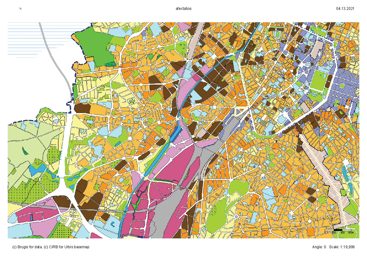
| 20:11, 20 April 2021 | Affectations du sol Page 1.png (file) |  |
890 KB | Raluca.musteata (talk | contribs) | 1 | |
| 19:54, 20 April 2021 | SGD RISKS.jpg (file) |  |
525 KB | Ana-cristina.bobe (talk | contribs) | 1 | |
| 15:18, 20 April 2021 | Fundeni2 blue green.jpg (file) |  |
1.02 MB | Alexandru.milea (talk | contribs) | 1 | |
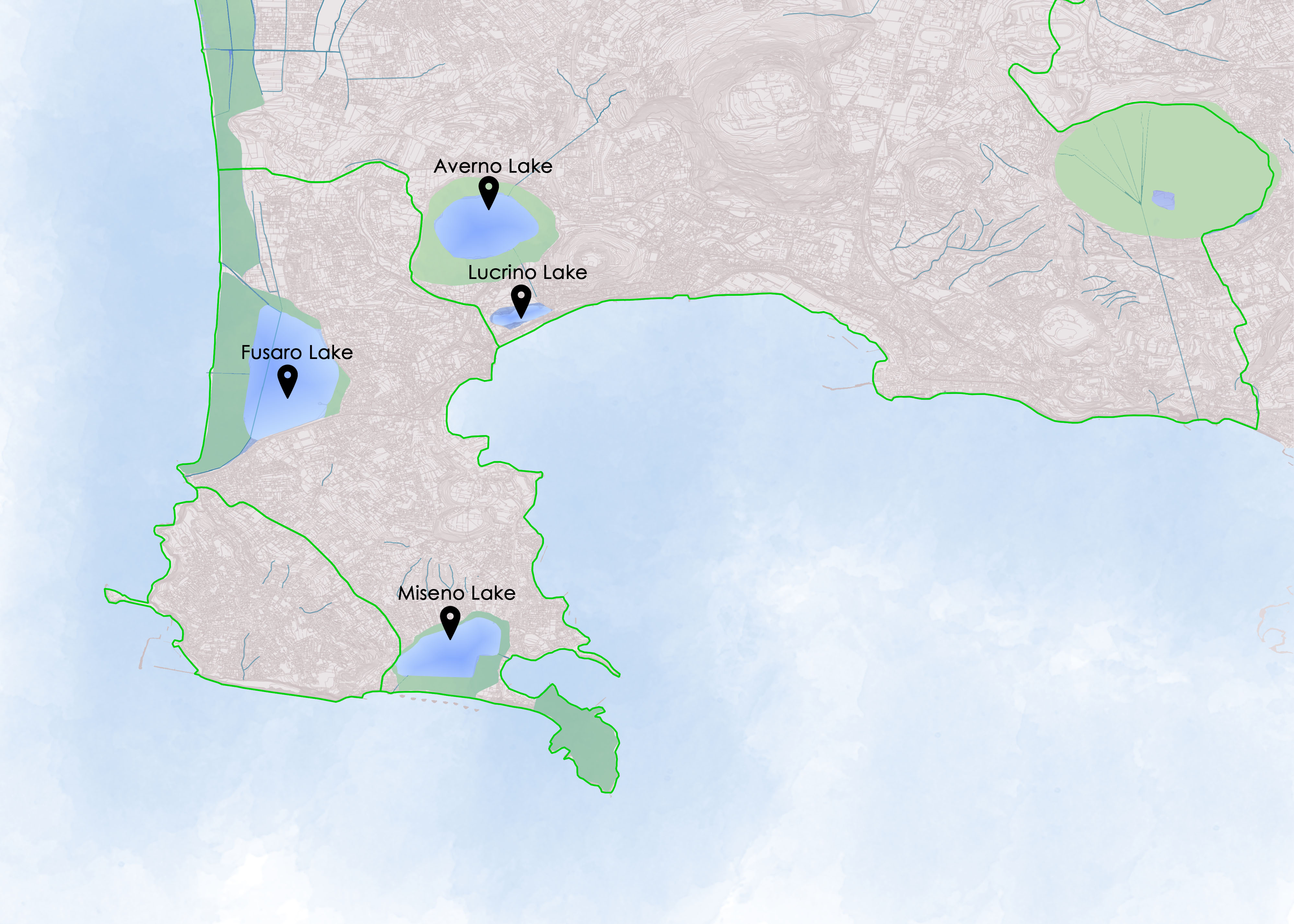
| 09:25, 20 April 2021 | 12-flegrei-2.jpg (file) |  |
258 KB | Maria.russo (talk | contribs) | 1 | |
| 09:21, 20 April 2021 | Wwaterarea.jpg (file) |  |
934 KB | Maria.russo (talk | contribs) | 1 | |
| 21:57, 19 April 2021 | Sacred spaces and heritage in the studied area.jpg (file) |  |
936 KB | Diana-ioana.ristea (talk | contribs) | 1 | |
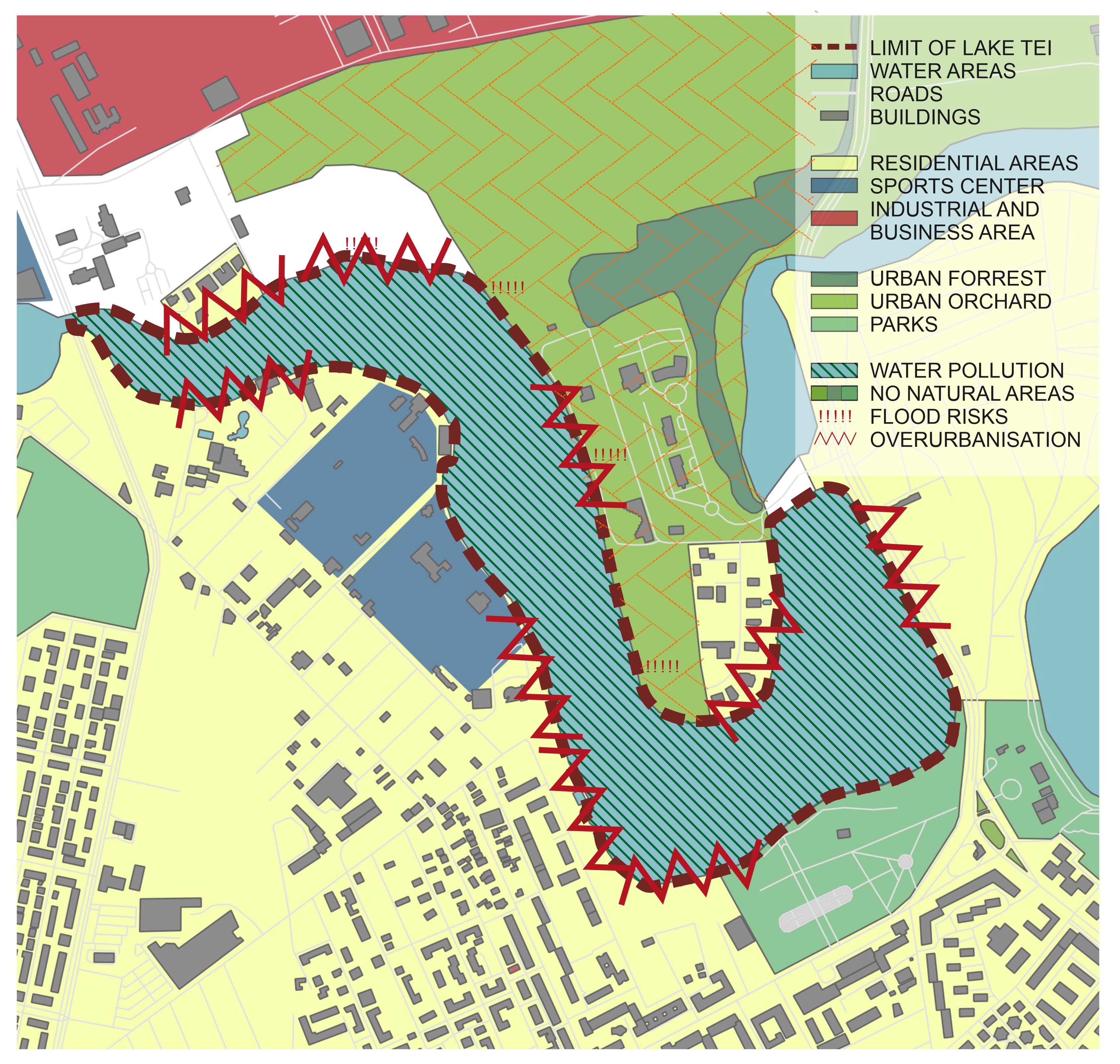
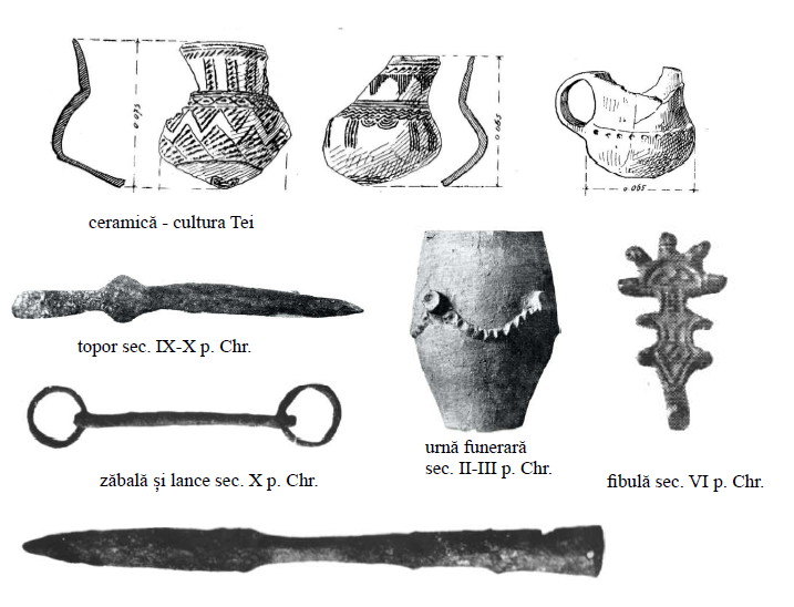
| 21:12, 19 April 2021 | Objects found in Tei Toboc Archaeological Site.PNG (file) |  |
411 KB | Diana-ioana.ristea (talk | contribs) | source: Sector 2 - Master Plan - Archaeological Study | 1 |
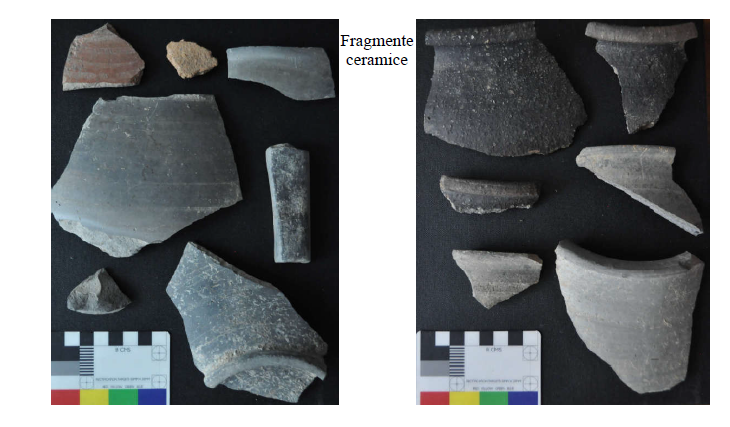
| 21:12, 19 April 2021 | Objects found in Tei Lake Archaeological Site.PNG (file) |  |
194 KB | Diana-ioana.ristea (talk | contribs) | source: Sector 2 - Master Plan - Archaeological Study | 1 |
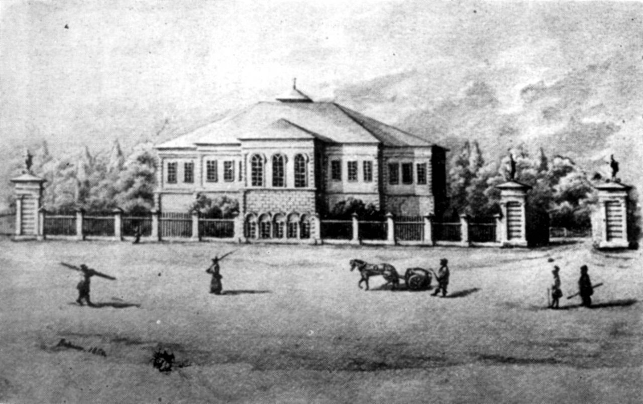
| 21:10, 19 April 2021 | Grigore Ghica Palace 19thcentury.jpg (file) |  |
147 KB | Diana-ioana.ristea (talk | contribs) | source: https://ro.wikipedia.org/wiki/Palatul_Ghica_Tei | 1 |
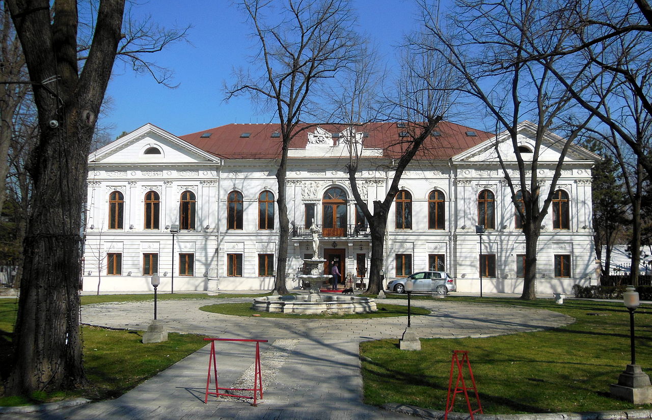
| 21:09, 19 April 2021 | Grigore Ghica Palace.JPG (file) |  |
311 KB | Diana-ioana.ristea (talk | contribs) | source: https://ro.wikipedia.org/wiki/Palatul_Ghica_Tei | 1 |
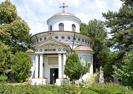
| 21:08, 19 April 2021 | Doamnei Ghica church.jpg (file) |  |
54 KB | Diana-ioana.ristea (talk | contribs) | source: https://www.crestinortodox.ro/biserici-manastiri/biserica-inaltarea-domnului-teiul-doamnei-ghika-137660.html | 1 |
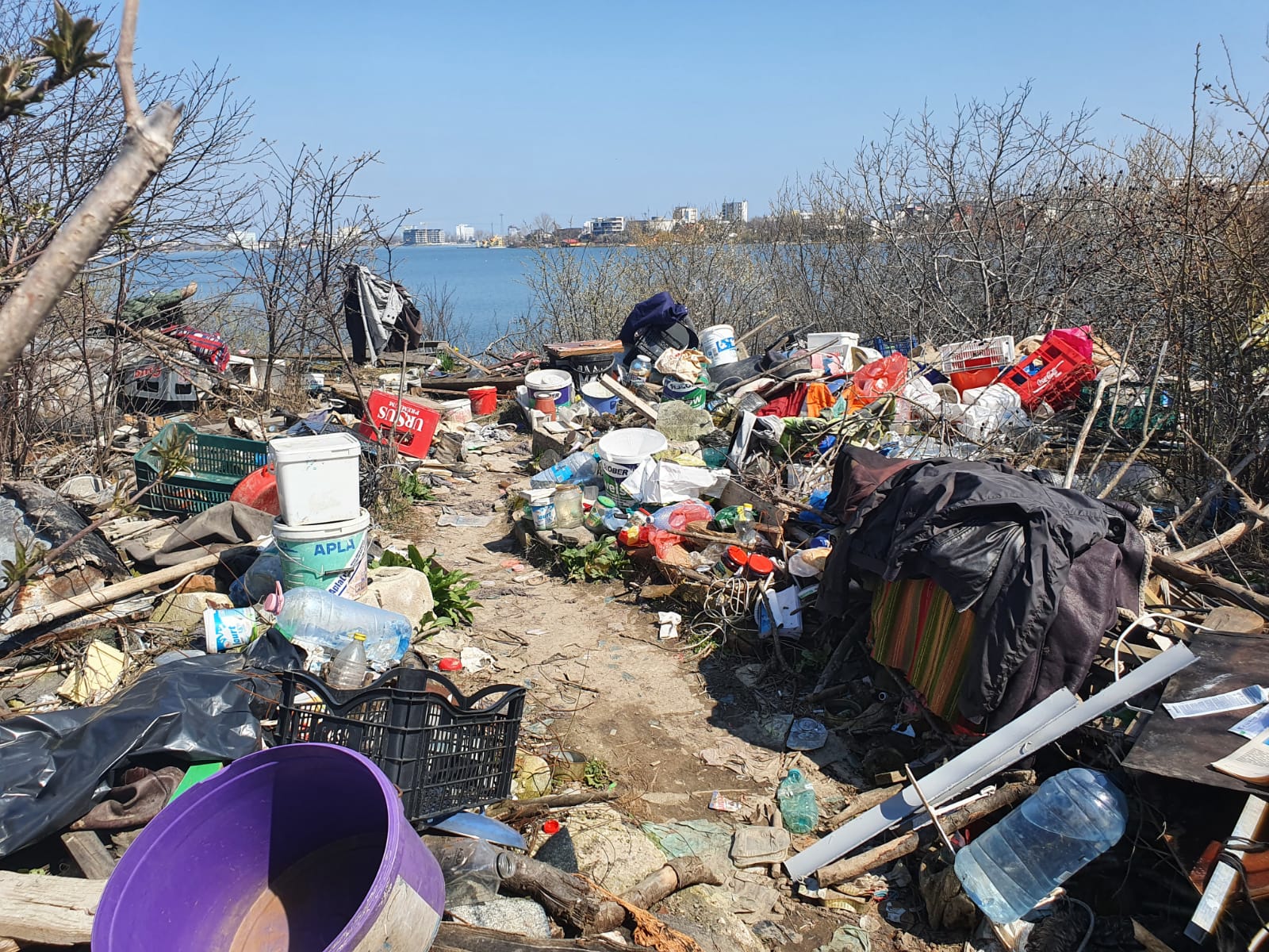
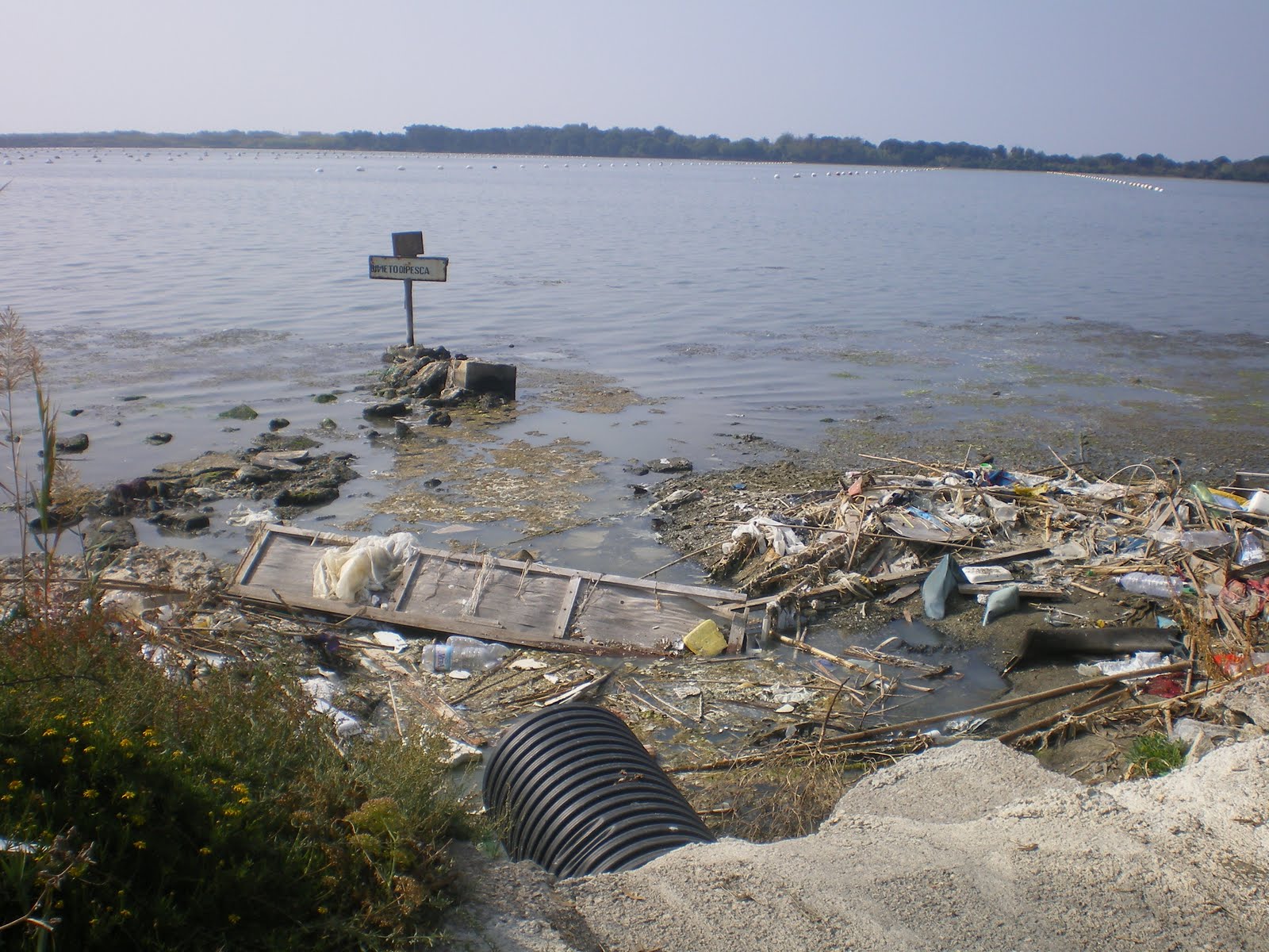
| 21:05, 19 April 2021 | SiutghiolHouseholdWaste.jpg (file) |  |
452 KB | Ion.izotov (talk | contribs) | 1 | |
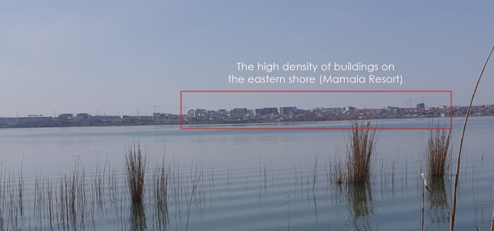
| 21:01, 19 April 2021 | BuildingDensity.jpeg (file) |  |
274 KB | Ion.izotov (talk | contribs) | 1 | |
| 20:25, 19 April 2021 | Unnamed (5).jpg (file) | .jpg) |
57 KB | Maria.russo (talk | contribs) | 1 | |
| 20:20, 19 April 2021 | Unnamed (4).jpg (file) | .jpg) |
77 KB | Maria.russo (talk | contribs) | 1 | |
| 20:16, 19 April 2021 | Unnamed (3).jpg (file) | .jpg) |
65 KB | Maria.russo (talk | contribs) | 1 | |
| 20:15, 19 April 2021 | Unnamed (2).jpg (file) | .jpg) |
60 KB | Maria.russo (talk | contribs) | 1 | |
| 19:35, 19 April 2021 | Dump fusaro lake.jpg (file) |  |
358 KB | Alessandro.gargano (talk | contribs) | 1 | |
| 19:16, 19 April 2021 | Fusaro lake 2.jpg (file) |  |
153 KB | Alessandro.gargano (talk | contribs) | 1 |