Help
File list
Jump to navigation
Jump to search
This special page shows all uploaded files.
File list
Items per page:
20
50
100
250
500
Username:
Include old versions of files
Show file list
First page
Previous page
Next page
Last page
Date
Name
Thumbnail
Size
User
Description
Versions
20:07, 19 May 2022
3.5 Institutions.png
(
file
)
104 KB
Cecile.agustoni
(
talk
|
contribs
)
1
20:07, 19 May 2022
3.4 graph groups in their rankings.png
(
file
)
41 KB
Cecile.agustoni
(
talk
|
contribs
)
1
20:07, 19 May 2022
3.3 graph Interest conflicts.png
(
file
)
61 KB
Cecile.agustoni
(
talk
|
contribs
)
1
20:06, 19 May 2022
3.2 Climate change master students in the project area.jpg
(
file
)
35 KB
Cecile.agustoni
(
talk
|
contribs
)
1
20:06, 19 May 2022
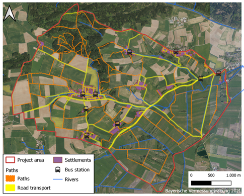
3.1 Map Road transport and path map.png
(
file
)
468 KB
Cecile.agustoni
(
talk
|
contribs
)
Map_Road_transport_and_path
1
18:03, 19 May 2022
2.13 Map Denkmäler.PNG
(
file
)
1.82 MB
Cecile.agustoni
(
talk
|
contribs
)
BayernAtlas Denkmäler
1
17:52, 19 May 2022
Fritz Halberg-Krauss, Holzfäller im Freisinger Moos 1942.png
(
file
)
266 KB
Cecile.agustoni
(
talk
|
contribs
)
1
17:52, 19 May 2022
2.11 contemporary memorials of Christians and testify to the historical settlement of Christianity in Freising.jpg
(
file
)
15 KB
Cecile.agustoni
(
talk
|
contribs
)
1
17:51, 19 May 2022
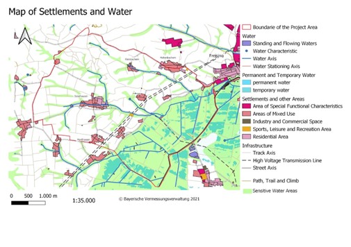
2.12 Map settlements and water.jpg
(
file
)
55 KB
Cecile.agustoni
(
talk
|
contribs
)
1
17:42, 19 May 2022
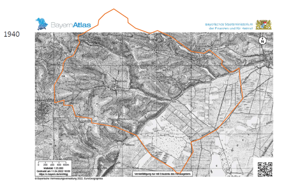
2.10 Situation on the area around 1940 BayernAtlas.png
(
file
)
233 KB
Cecile.agustoni
(
talk
|
contribs
)
1
17:42, 19 May 2022
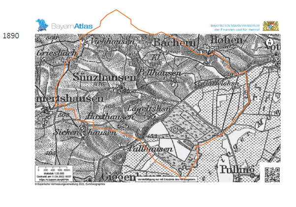
2.9 Situation on the area around 1890 BayernAtlas.png
(
file
)
256 KB
Cecile.agustoni
(
talk
|
contribs
)
1
17:41, 19 May 2022
2.8 The Hills were used mostly for agriculture on the sides and Woodlands on top MapBayernAtlas.png
(
file
)
151 KB
Cecile.agustoni
(
talk
|
contribs
)
1
17:33, 19 May 2022
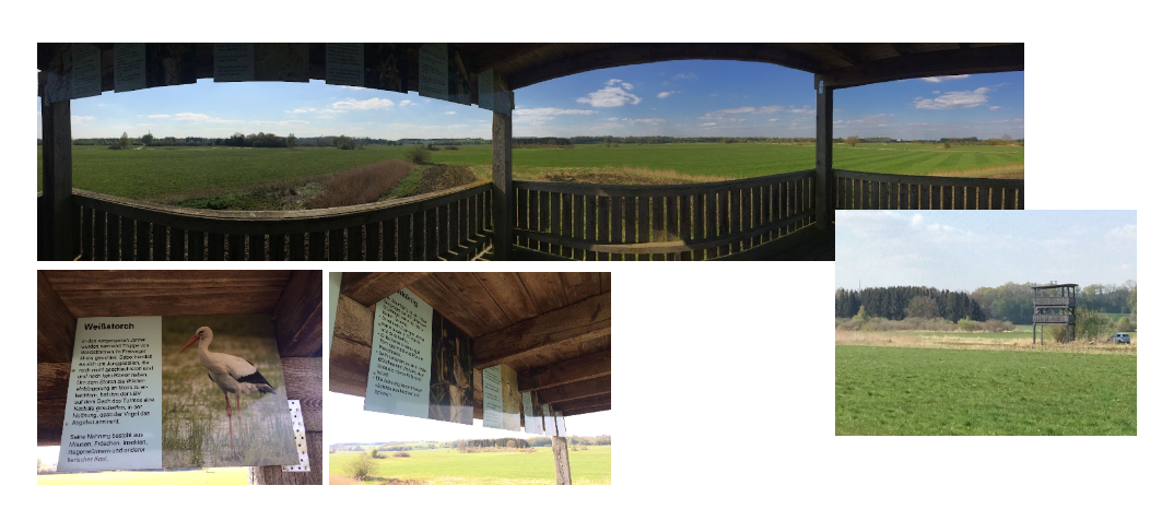
2.7 Touristic use of the moos.PNG
(
file
)
796 KB
Cecile.agustoni
(
talk
|
contribs
)
Touristic view facility gives a wide overview of the area and informs the people about the nature protection measures and endangered species
1
17:33, 19 May 2022
2.6 Freisinger moos- recreation area.jpg
(
file
)
12 KB
Cecile.agustoni
(
talk
|
contribs
)
The peatland is also an important recreation area for the Freisinger inhabitants
1
17:04, 19 May 2022
Protected grassland to preserve butterflies in Freisinger Moos.jpg
(
file
)
45 KB
Cecile.agustoni
(
talk
|
contribs
)
Picture: Protected grassland to preserve butterflies in Freisinger Moos (author: Rok Brišnik, 2022).
1
16:58, 19 May 2022
1.6.png
(
file
)
1 KB
Cecile.agustoni
(
talk
|
contribs
)
2
12:57, 19 May 2022
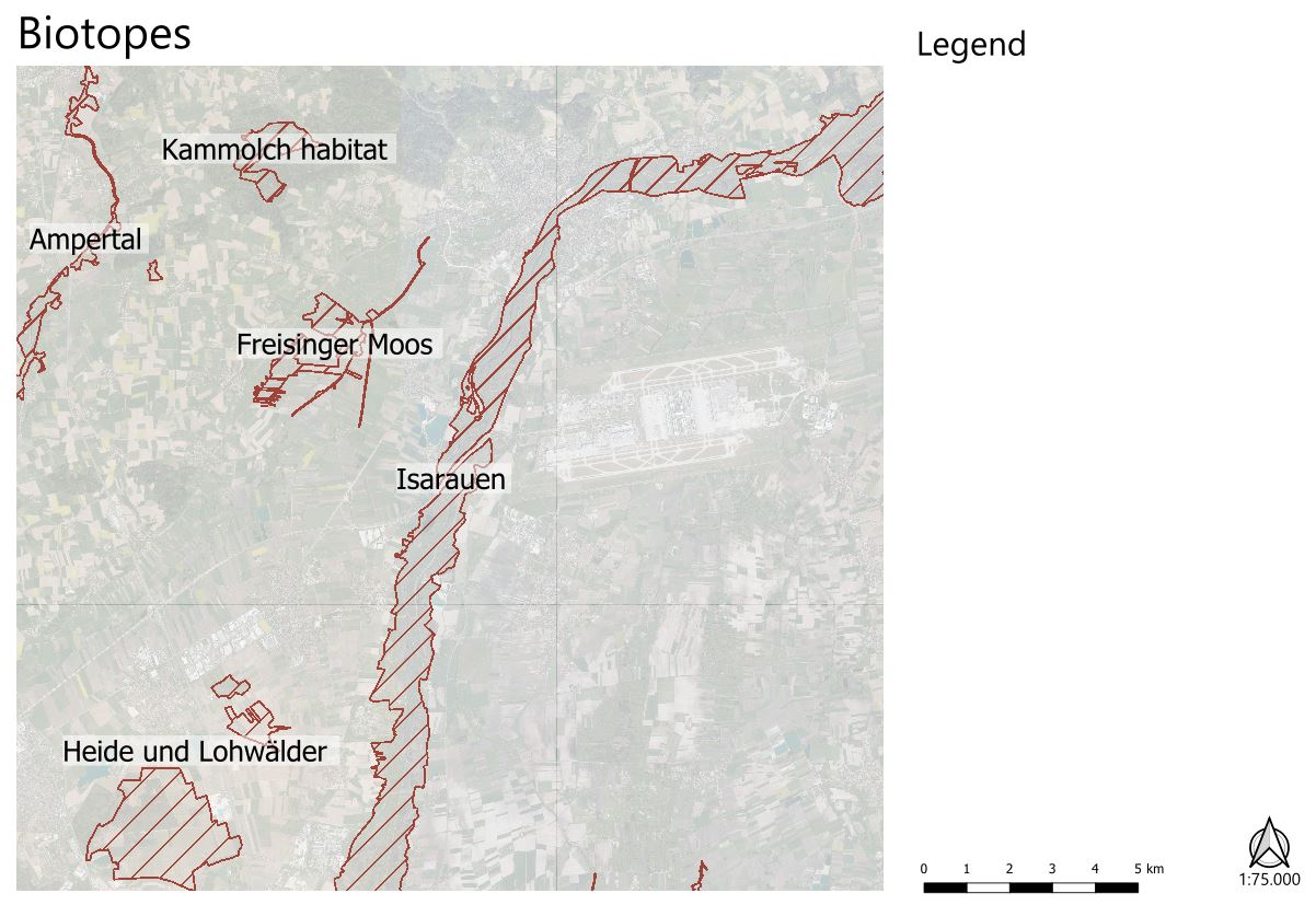
Biotope map cutout.jpg
(
file
)
136 KB
Brent.brug
(
talk
|
contribs
)
1
12:52, 19 May 2022
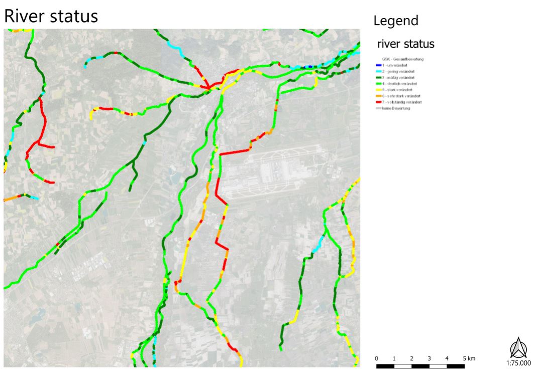
Riverstatus cutout.jpg
(
file
)
101 KB
Brent.brug
(
talk
|
contribs
)
1
12:17, 19 May 2022
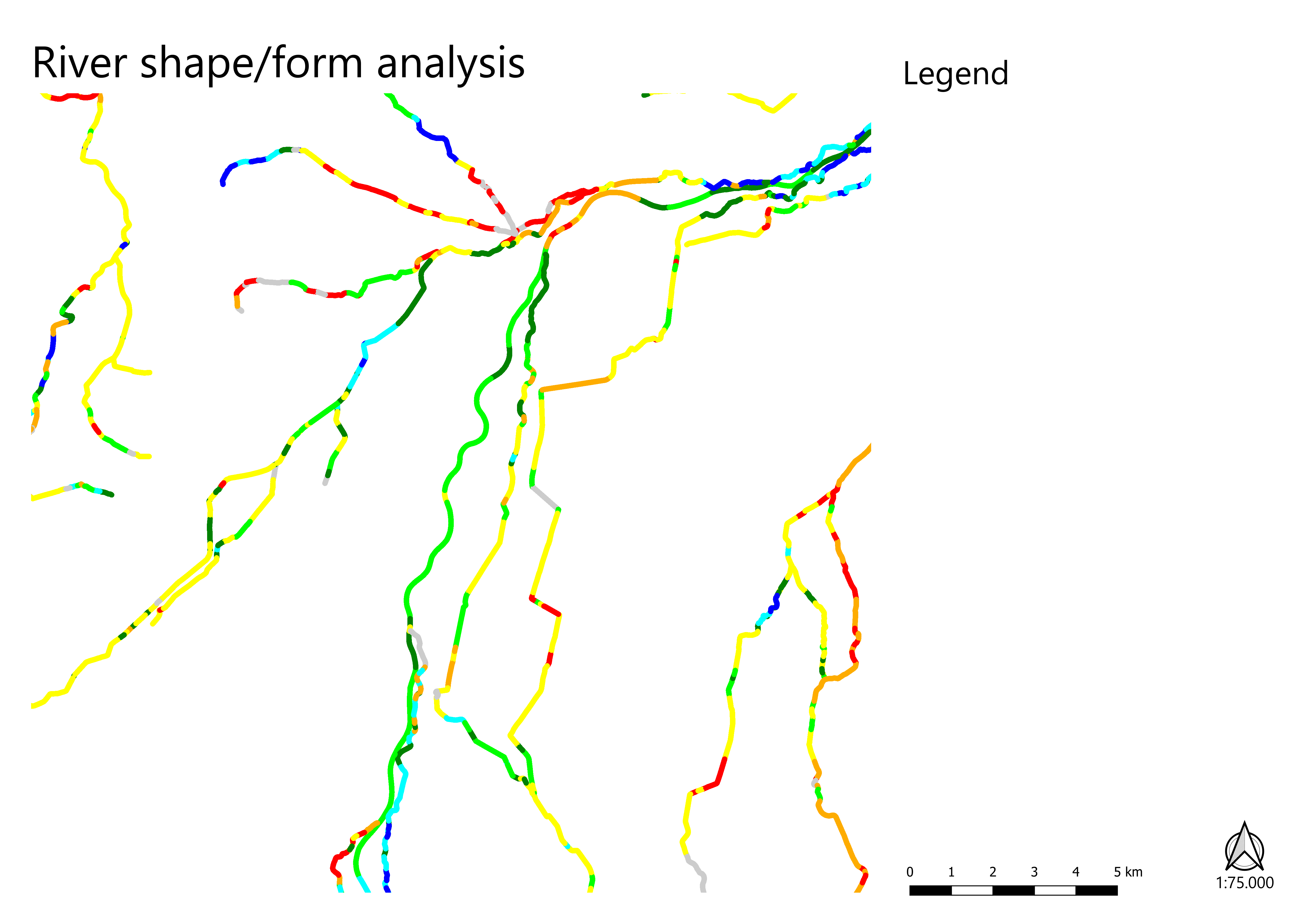
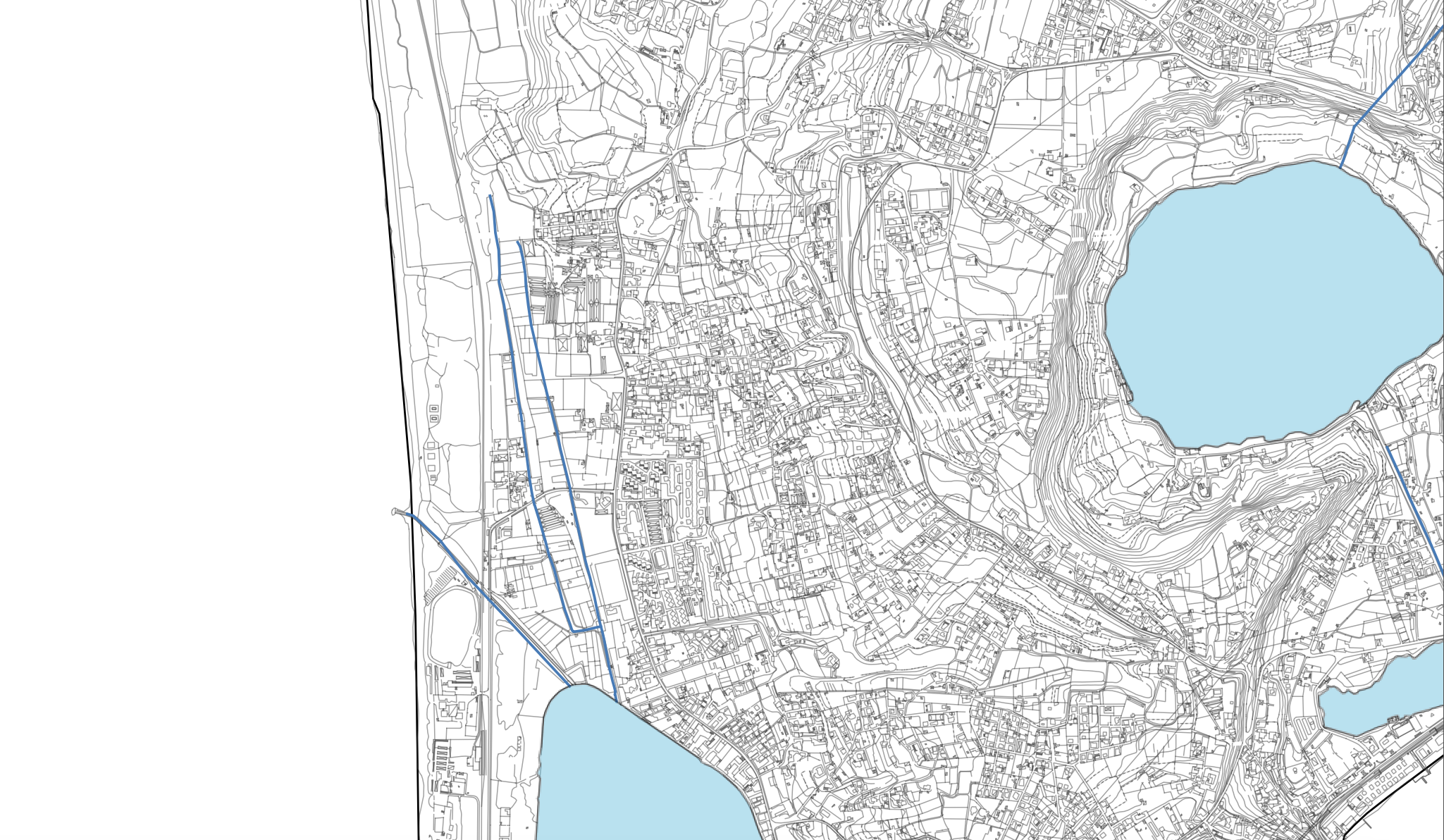
River shape-form map 1to75000.png
(
file
)
Error creating thumbnail: File with dimensions greater than 12.5 MP
264 KB
Brent.brug
(
talk
|
contribs
)
1
11:37, 19 May 2022
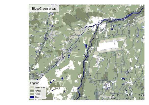
Blue and Green Map.png
(
file
)
223 KB
Ayse.dolanbay
(
talk
|
contribs
)
1
11:32, 19 May 2022
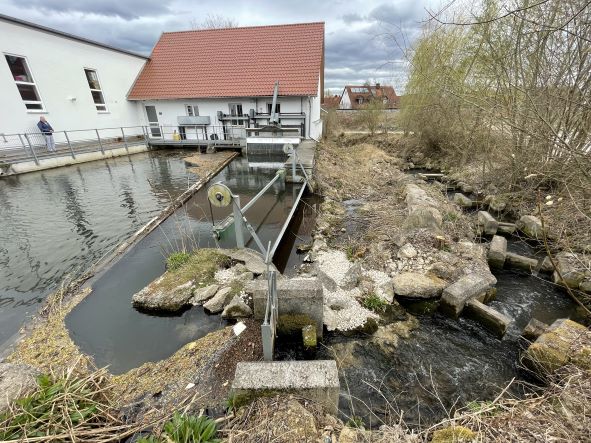
Electro station.jpg
(
file
)
88 KB
Ayse.dolanbay
(
talk
|
contribs
)
1
11:31, 19 May 2022
Another fish farm.jpg
(
file
)
58 KB
Ayse.dolanbay
(
talk
|
contribs
)
1
11:30, 19 May 2022
Fish farm.jpg
(
file
)
68 KB
Ayse.dolanbay
(
talk
|
contribs
)
1
11:05, 19 May 2022
Scenarios.jpg
(
file
)
97 KB
Adriana.napolitano
(
talk
|
contribs
)
1
10:46, 19 May 2022
Scenarios2.jpg
(
file
)
97 KB
Adriana.napolitano
(
talk
|
contribs
)
2
10:42, 19 May 2022
Capture3.png
(
file
)
4 KB
Ayse.dolanbay
(
talk
|
contribs
)
1
09:18, 19 May 2022
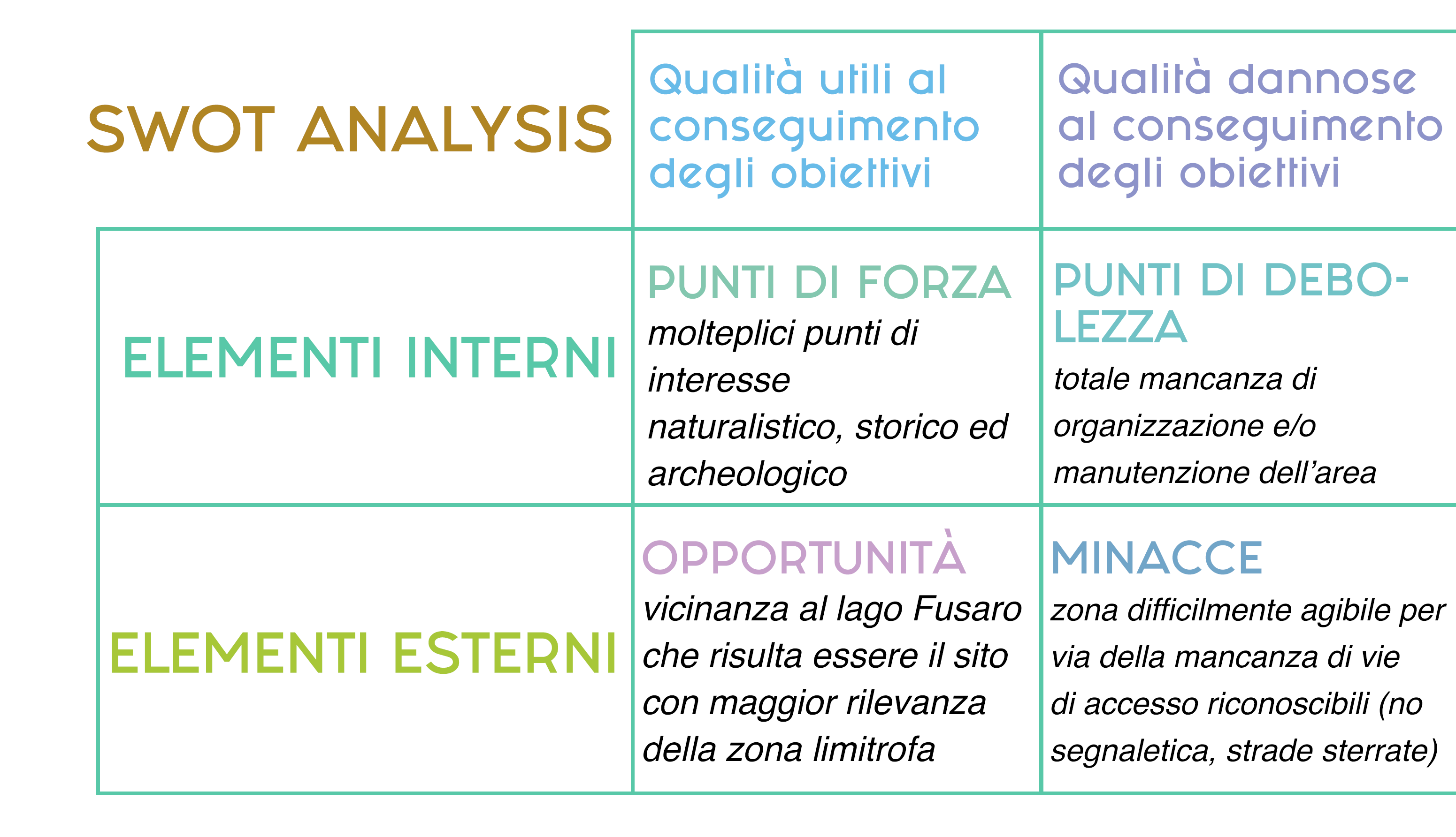
SWOT .png
(
file
)
406 KB
Giulia.dibiase
(
talk
|
contribs
)
1
09:15, 19 May 2022
Parco-animali.jpg
(
file
)
970 KB
Giulia.dibiase
(
talk
|
contribs
)
1
09:14, 19 May 2022
Accesso spiaggia.jpg
(
file
)
825 KB
Giulia.dibiase
(
talk
|
contribs
)
1
09:08, 19 May 2022
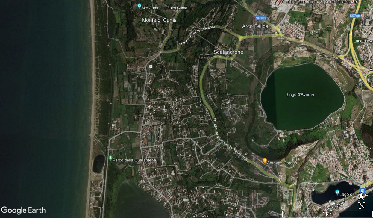
Cuma.jpg
(
file
)
218 KB
Giulia.dibiase
(
talk
|
contribs
)
1
09:06, 19 May 2022
Antro della Sibilla .jpg
(
file
)
609 KB
Giulia.dibiase
(
talk
|
contribs
)
1
21:36, 18 May 2022
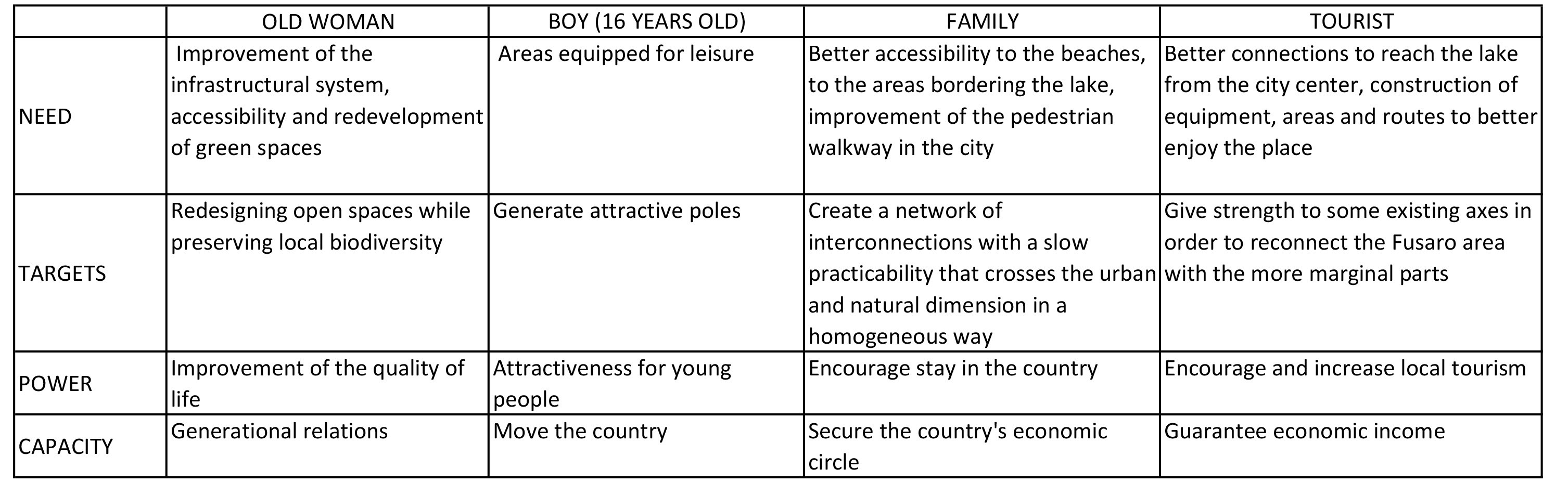
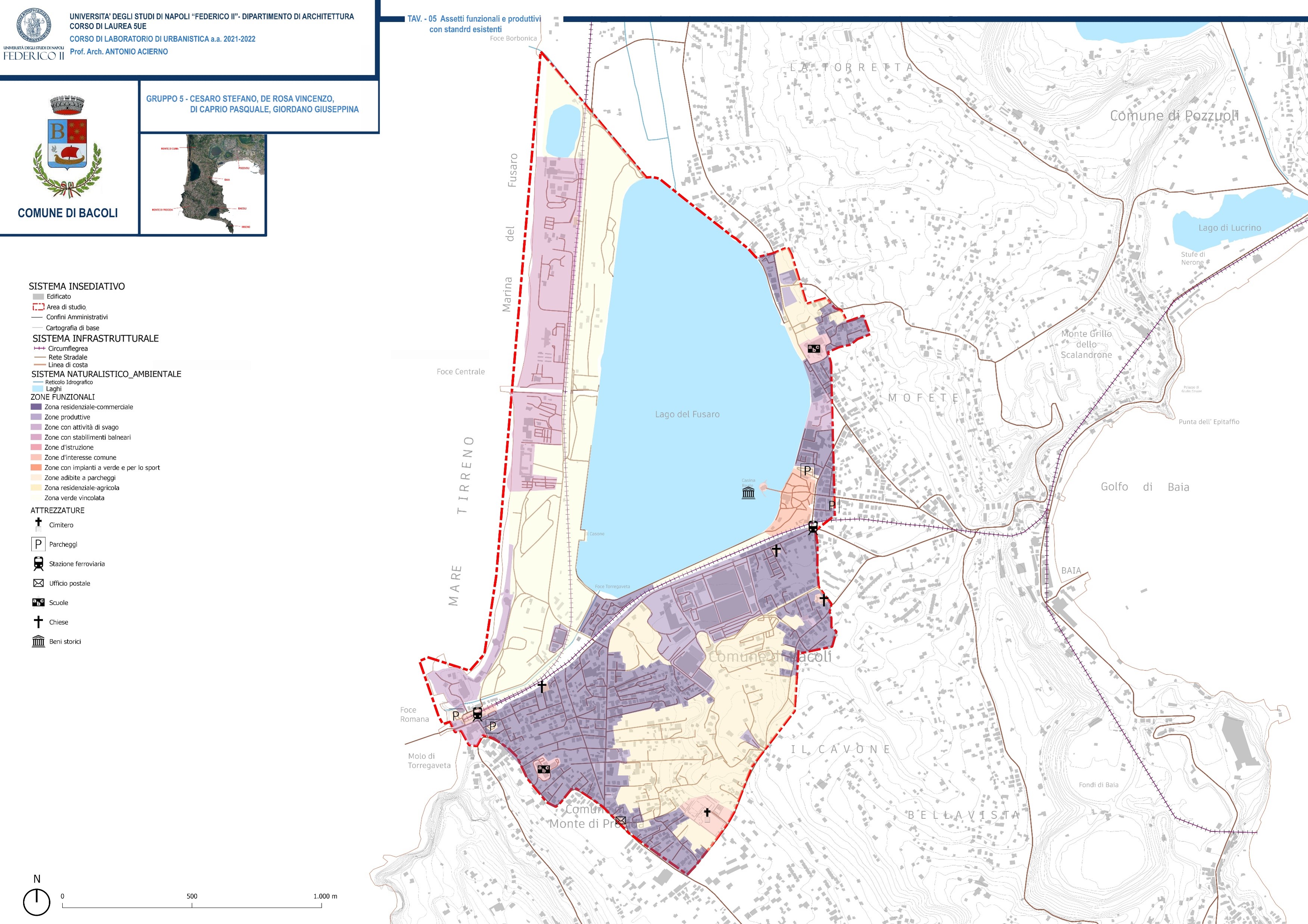
Tabella.jpg
(
file
)
432 KB
Stefano.cesaro
(
talk
|
contribs
)
1
21:26, 18 May 2022
Casina.jpg
(
file
)
30 KB
Stefano.cesaro
(
talk
|
contribs
)
1
21:23, 18 May 2022
Immaginee.jpg
(
file
)
1.34 MB
Stefano.cesaro
(
talk
|
contribs
)
1
21:21, 18 May 2022
Immagine.jpg
(
file
)
1.39 MB
Stefano.cesaro
(
talk
|
contribs
)
1
21:03, 18 May 2022
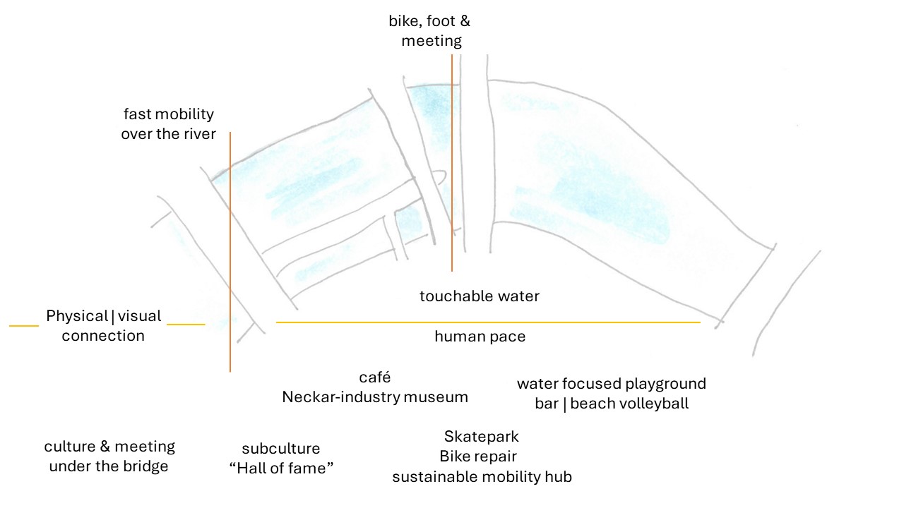
Neckarisland spatial your governance model.jpg
(
file
)
81 KB
Anna.schneider
(
talk
|
contribs
)
1
20:41, 18 May 2022
Anders Neckar.jpeg
(
file
)
82 KB
Anna.schneider
(
talk
|
contribs
)
1
20:27, 18 May 2022
Couldbe.jpg
(
file
)
82 KB
Anna.schneider
(
talk
|
contribs
)
3
19:44, 18 May 2022
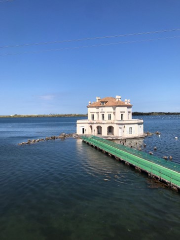
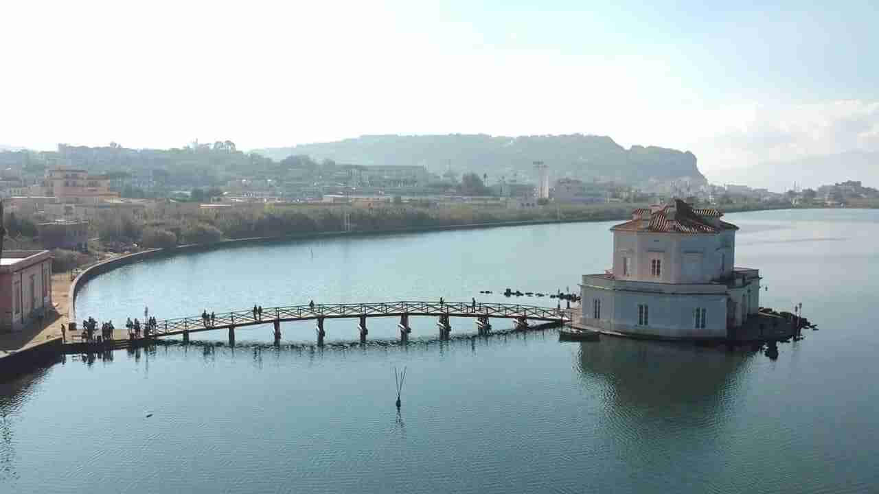
Lago-Fusaro-e-la-Casina-Vanvitelliana.jpg
(
file
)
23 KB
Stefano.cesaro
(
talk
|
contribs
)
1
16:12, 18 May 2022
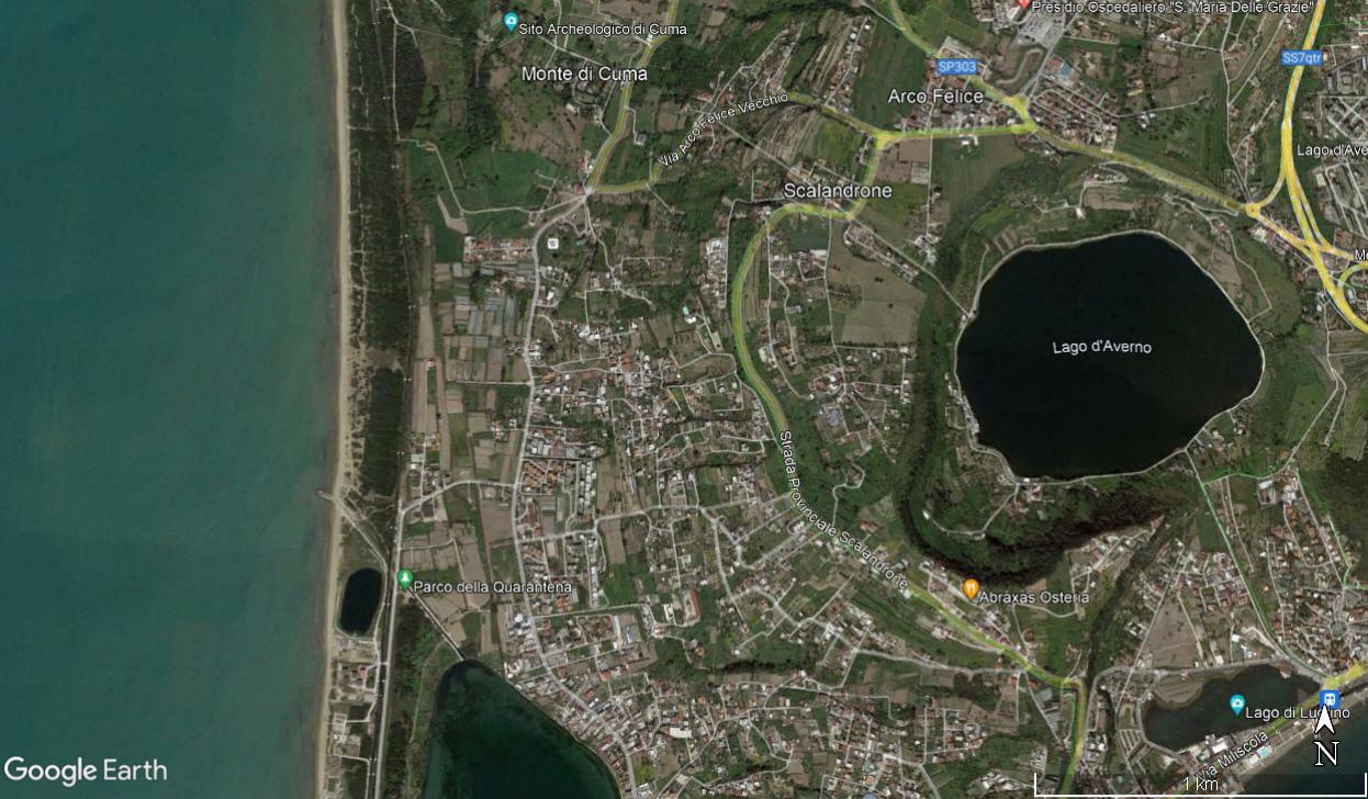
Quarantena Park 2017.jpg
(
file
)
609 KB
Chiara.castellano
(
talk
|
contribs
)
2
16:10, 18 May 2022
Quarantena Park 2021.jpg
(
file
)
633 KB
Chiara.castellano
(
talk
|
contribs
)
2
16:09, 18 May 2022
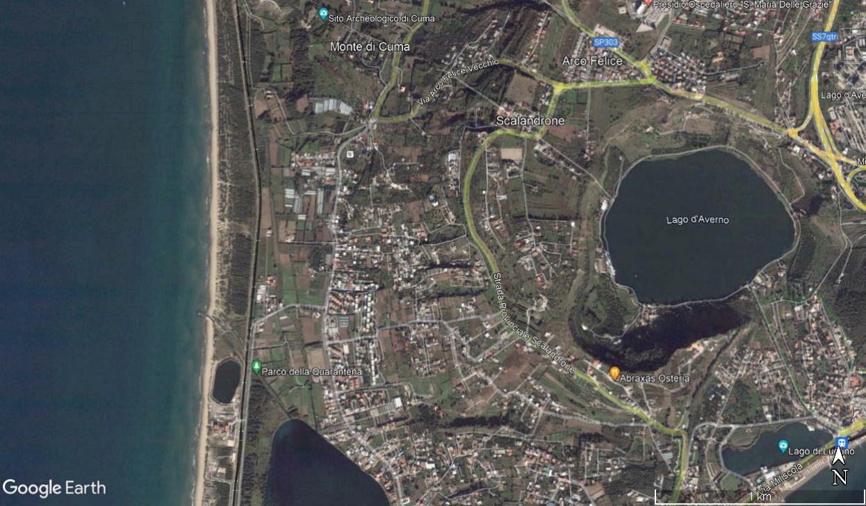
Quarantena Park 2004.jpg
(
file
)
632 KB
Chiara.castellano
(
talk
|
contribs
)
4
16:09, 18 May 2022
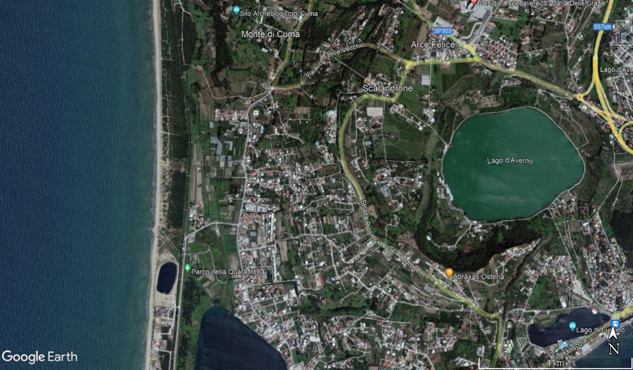
Quarantena Park 2014.jpg
(
file
)
686 KB
Chiara.castellano
(
talk
|
contribs
)
3
16:06, 18 May 2022
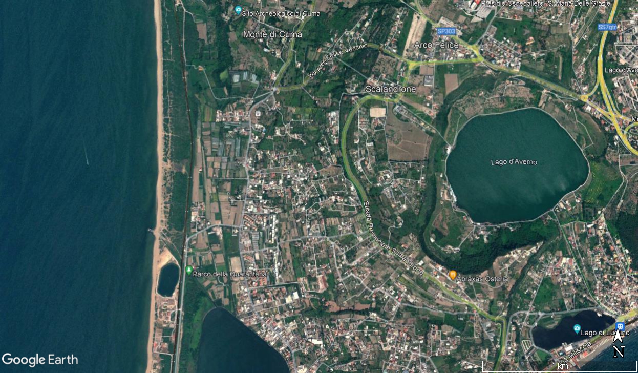
Quarantena Park 2009.jpg
(
file
)
709 KB
Chiara.castellano
(
talk
|
contribs
)
2
14:50, 18 May 2022
Foce.jpg
(
file
)
1.1 MB
Giulia.dibiase
(
talk
|
contribs
)
1
14:47, 18 May 2022
Punti nodali .jpg
(
file
)
827 KB
Giulia.dibiase
(
talk
|
contribs
)
1
14:31, 18 May 2022
Natural areas.jpg
(
file
)
1.81 MB
Giulia.dibiase
(
talk
|
contribs
)
1
14:15, 18 May 2022
Garbage near the water.jpg
(
file
)
1.88 MB
Giulia.dibiase
(
talk
|
contribs
)
1
14:10, 18 May 2022
Water system quarantena park.png
(
file
)
1.56 MB
Giulia.dibiase
(
talk
|
contribs
)
1
14:02, 18 May 2022
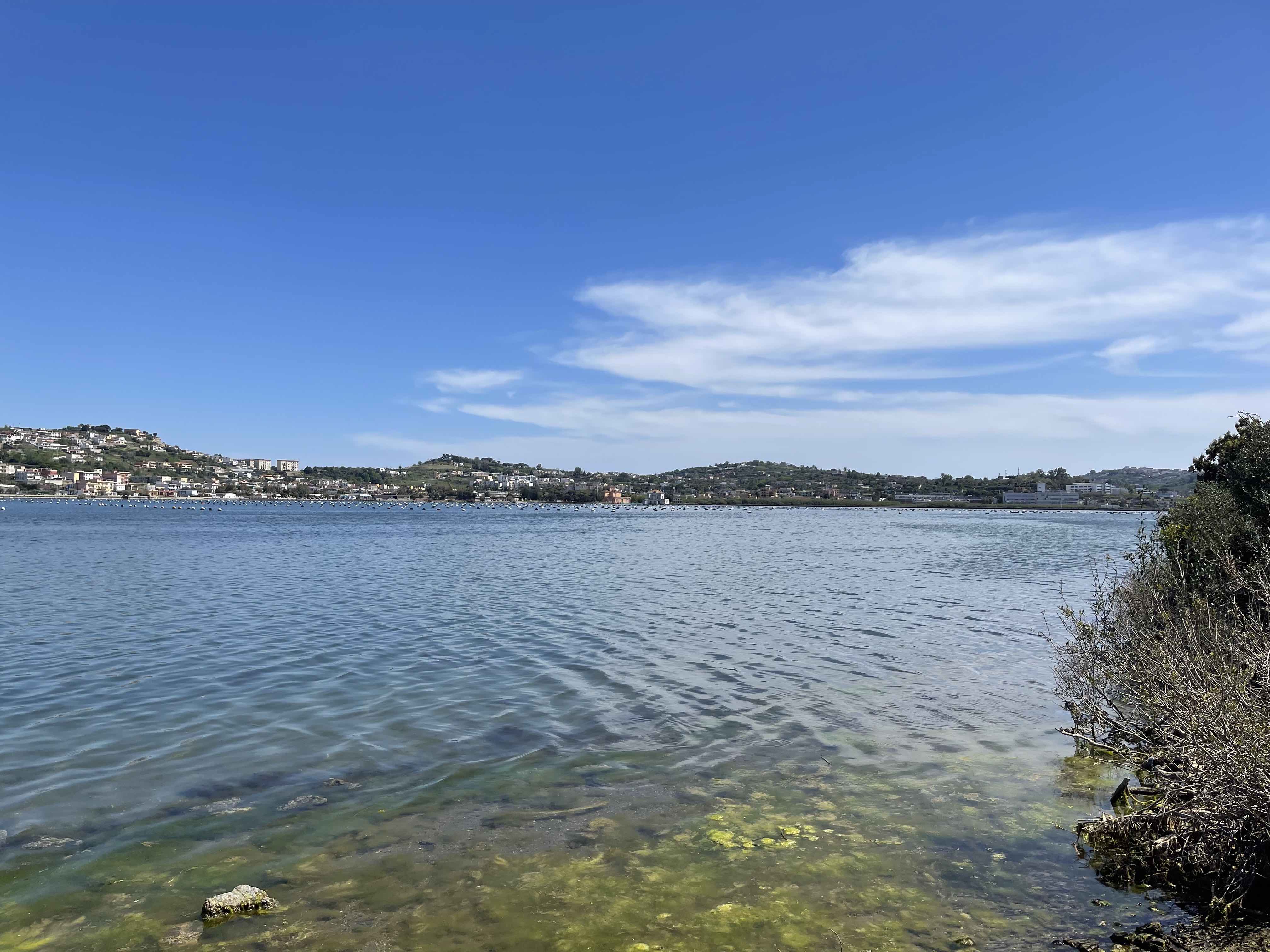
View of the Fusaro lake from the park.jpeg
(
file
)
686 KB
Giulia.dibiase
(
talk
|
contribs
)
view of the Fusaro lake from the park
1
First page
Previous page
Next page
Last page
Navigation menu
Personal tools
Log in
Namespaces
Special page
English
Views
More
Refresh
Search
The WAVE Project
About
Output
Multiplier Event
Online Seminar 2022
Overview
Schedule
Working Groups
Reading List
Geodesign
Living Labs
Overview
Living Lab Methods
Past Seminars
WAVE Seminar 2021
Working Groups 2021
Help + Navigation
Wiki tutorial
Templates
Recent changes
Help
Tools
Special pages
Printable version


