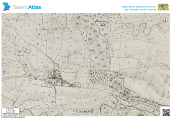
File:2.8 The Hills were used mostly for agriculture on the sides and Woodlands on top MapBayernAtlas.png
No higher resolution available.
2.8_The_Hills_were_used_mostly_for_agriculture_on_the_sides_and_Woodlands_on_top_MapBayernAtlas.png (339 × 236 pixels, file size: 151 KB, MIME type: image/png)
File history
Click on a date/time to view the file as it appeared at that time.
| Date/Time | Thumbnail | Dimensions | User | Comment | |
|---|---|---|---|---|---|
| current | 17:41, 19 May 2022 | | 339 × 236 (151 KB) | Cecile.agustoni (talk | contribs) |
You cannot overwrite this file.
File usage
The following page uses this file: