File:Flächennutzung.jpg
Jump to navigation
Jump to search
Size of this preview: 800 × 566 pixels. Other resolutions: 2,560 × 1,810 pixels | 3,000 × 2,121 pixels.
Original file (3,000 × 2,121 pixels, file size: 174 KB, MIME type: image/jpeg)
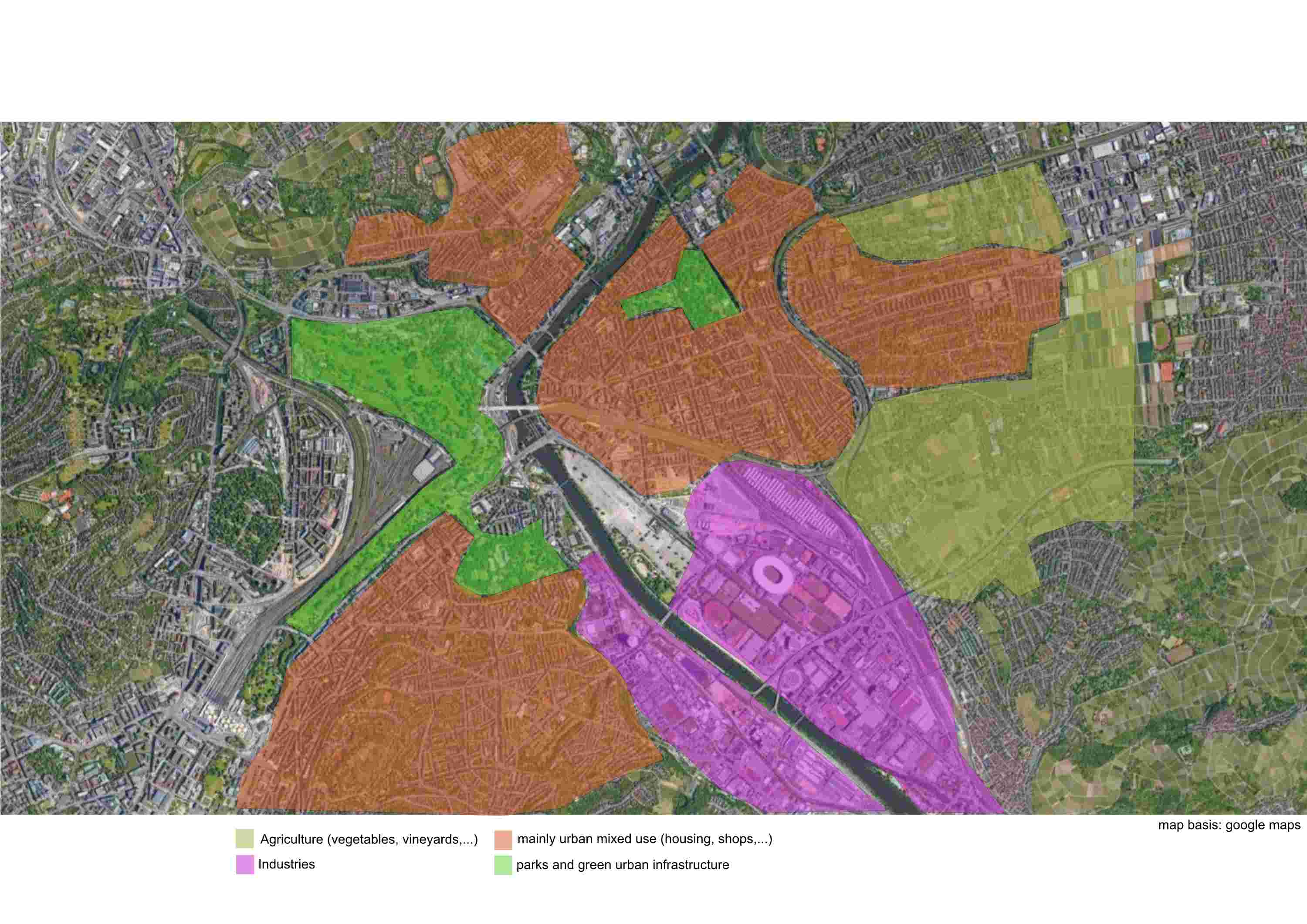
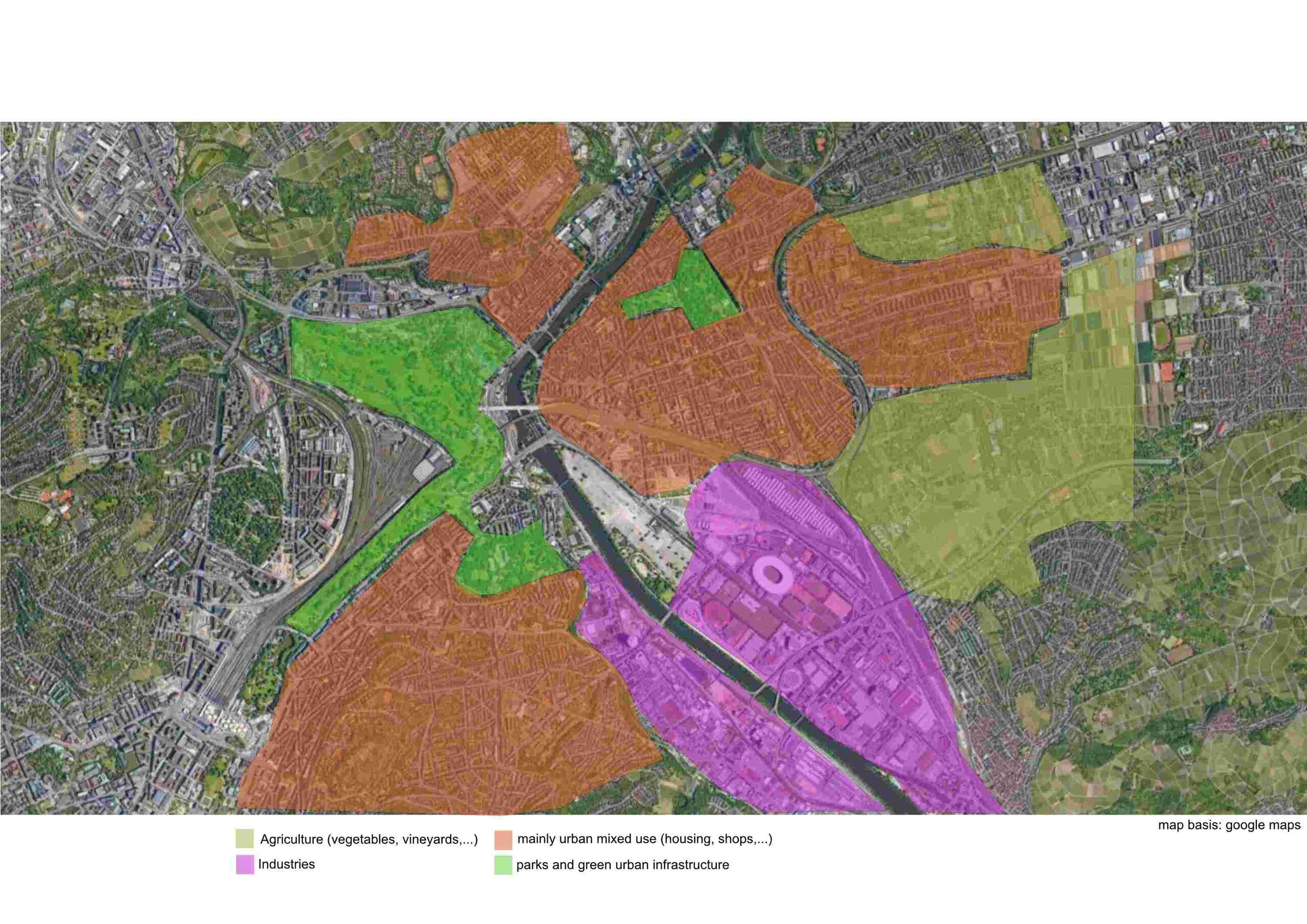
Map is roughly showing the land use along the Neckar in the study area.
File history
Click on a date/time to view the file as it appeared at that time.
| Date/Time | Thumbnail | Dimensions | User | Comment | |
|---|---|---|---|---|---|
| current | 14:18, 29 April 2022 | | 3,000 × 2,121 (174 KB) | Anna.schneider (talk | contribs) |
You cannot overwrite this file.
File usage
The following page uses this file: