File:UEberflutungsflaechen 2022-04-29.png
Jump to navigation
Jump to search
Size of this preview: 424 × 599 pixels. Other resolution: 1,123 × 1,587 pixels.
Original file (1,123 × 1,587 pixels, file size: 1.19 MB, MIME type: image/png)
Summary
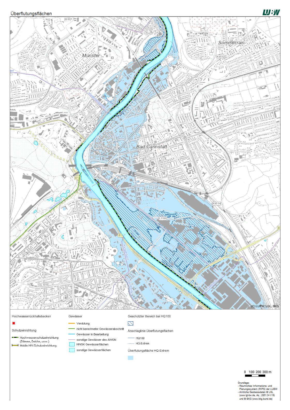
Modelled inundation areas during an extreme flood level. Oversees hundred-year flood level.
File history
Click on a date/time to view the file as it appeared at that time.
| Date/Time | Thumbnail | Dimensions | User | Comment | |
|---|---|---|---|---|---|
| current | 21:28, 29 April 2022 | | 1,123 × 1,587 (1.19 MB) | Anna.schneider (talk | contribs) | Modelled inundation areas during an extreme flood level. Oversees hundred-year flood level. Source: https://udo.lubw.baden-wuerttemberg.de/public/pages/map/command/index.xhtml;jsessionid=1C94B4AFAF1C182146B1E4BF0471208B?mapId=616315c2-f0c4-4387-9605-470be8e80302&mapSrs=EPSG%3A25832&mapExtent=514883.5188916079%2C5404912.404996926%2C516656.27689987887%2C5405888.436839266 |
You cannot overwrite this file.
File usage
There are no pages that use this file.