File:Digital Transect in ArcGIS Urban .png
Jump to navigation
Jump to search
Size of this preview: 800 × 585 pixels. Other resolution: 1,029 × 753 pixels.
Original file (1,029 × 753 pixels, file size: 593 KB, MIME type: image/png)
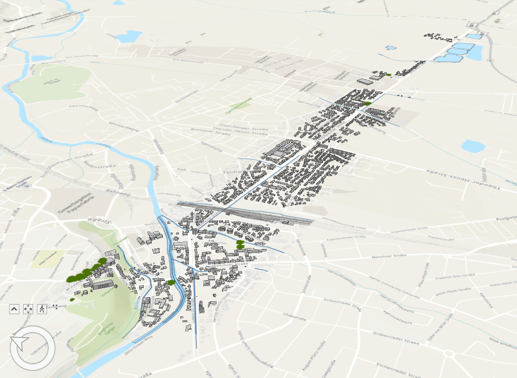
Transect of the Dachau-Schleißheim canal between Dachau castle and Obergrashof and terrain, water, building and transport layers in 3D in ArcGIS Urban (geodata: LDBV 2021, OpenStreetMap contributors 2021, Esri 2021).
File history
Click on a date/time to view the file as it appeared at that time.
| Date/Time | Thumbnail | Dimensions | User | Comment | |
|---|---|---|---|---|---|
| current | 14:02, 17 April 2023 | | 1,029 × 753 (593 KB) | Olaf.schroth (talk | contribs) |
You cannot overwrite this file.
File usage
The following page uses this file: