File:Map3.jpg
Jump to navigation
Jump to search
Size of this preview: 544 × 600 pixels. Other resolution: 653 × 720 pixels.
Original file (653 × 720 pixels, file size: 122 KB, MIME type: image/jpeg)
Summary
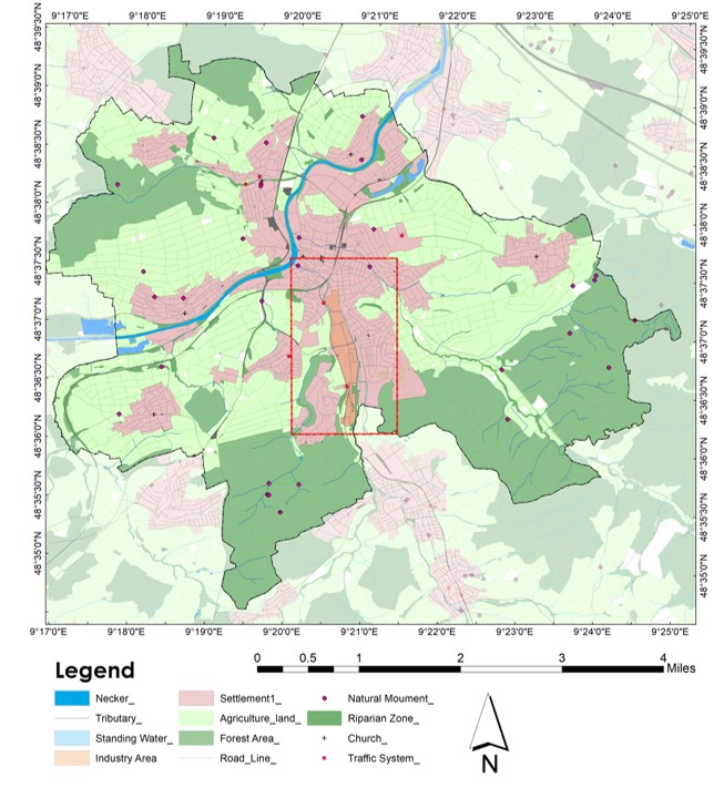
A Basemap of Nürtingen area highlighting different areas such as forest cover, agricultural land, built-up area, water areas, riparian zone and etc.
File history
Click on a date/time to view the file as it appeared at that time.
| Date/Time | Thumbnail | Dimensions | User | Comment | |
|---|---|---|---|---|---|
| current | 01:38, 23 July 2021 | | 653 × 720 (122 KB) | Mohit.sehrawat (talk | contribs) | A Basemap of Nürtingen area highlighting different areas such as forest cover, agricultural land, built-up area, water areas, riparian zone and etc. |
You cannot overwrite this file.
File usage
The following page uses this file: