Uploads by Angkita.hawlader
Jump to navigation
Jump to search
This special page shows all uploaded files.
| Date | Name | Thumbnail | Size | Description | Versions |
|---|---|---|---|---|---|
| 15:00, 7 June 2021 | Goal.JPG (file) | 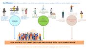 |
142 KB | 1 | |
| 18:32, 7 May 2021 | --Site Image--.jpeg (file) | 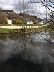 |
276 KB | 1 | |
| 18:22, 7 May 2021 | --Community Mapping--.JPG (file) | 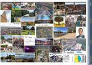 |
636 KB | 1 | |
| 18:20, 7 May 2021 | --Our Goal--.JPG (file) | 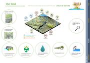 |
276 KB | 1 | |
| 18:19, 7 May 2021 | --Worst Case Scenario Forecast--.JPG (file) | 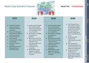 |
321 KB | 1 | |
| 18:18, 7 May 2021 | --Best Case Scenario Forecast--.JPG (file) | 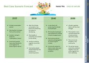 |
247 KB | 1 | |
| 18:17, 7 May 2021 | --Scenario Matrix--.JPG (file) | 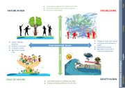 |
270 KB | 1 | |
| 18:16, 7 May 2021 | --SWOT Analysis--.JPG (file) | 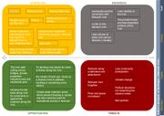 |
337 KB | 1 | |
| 18:15, 7 May 2021 | --DPSIR3--.JPG (file) | 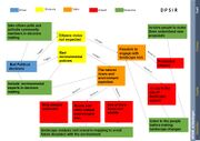 |
251 KB | 1 | |
| 18:14, 7 May 2021 | --DPSIR2--.JPG (file) |  |
200 KB | 1 | |
| 18:13, 7 May 2021 | --DPSIR1--.JPG (file) |  |
177 KB | 1 | |
| 18:10, 7 May 2021 | --People on site Demands2--.JPG (file) | 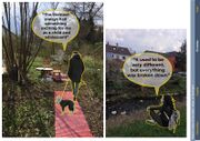 |
513 KB | 1 | |
| 18:09, 7 May 2021 | --People on site demands--.JPG (file) |  |
487 KB | 1 | |
| 18:07, 7 May 2021 | --Needs and aspirations of community--.JPG (file) | 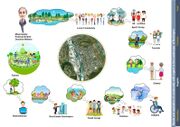 |
306 KB | 1 | |
| 18:06, 7 May 2021 | --Groups and subgroups--.JPG (file) | 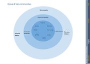 |
92 KB | 1 | |
| 17:58, 7 May 2021 | --Different Layers of Analysis--.JPG (file) | 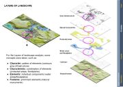 |
295 KB | 1 | |
| 17:57, 7 May 2021 | --Orchard and Midows--.JPG (file) | 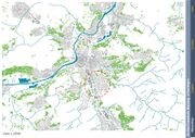 |
531 KB | 1 | |
| 17:55, 7 May 2021 | --Landscape Protected area--.JPG (file) |  |
395 KB | 1 | |
| 17:53, 7 May 2021 | --Biotope Mapping--.JPG (file) | 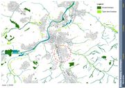 |
409 KB | 1 | |
| 17:51, 7 May 2021 | --Protected areas--.JPG (file) | 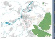 |
427 KB | 1 | |
| 17:50, 7 May 2021 | --Green area Mapping--.JPG (file) | 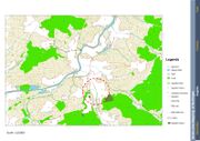 |
440 KB | 1 | |
| 17:48, 7 May 2021 | --An overview of Landuse--.JPG (file) | 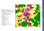 |
344 KB | 1 | |
| 17:46, 7 May 2021 | --Historical Maps Showing water way change and growing urbanization--.JPG (file) | 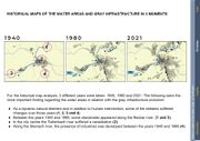 |
337 KB | 1 | |
| 17:40, 7 May 2021 | --Water structure mapping--.JPG (file) | 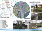 |
278 KB | 1 | |
| 17:38, 7 May 2021 | --Introduction to our site--.JPG (file) | 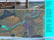 |
307 KB | 1 | |
| 17:36, 7 May 2021 | --Watershed--.JPG (file) | 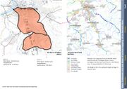 |
350 KB | 1 | |
| 17:35, 7 May 2021 | --Flood Plains--.JPG (file) | 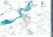 |
364 KB | 1 | |
| 17:26, 7 May 2021 | --Necker and its tributaries --.JPG (file) | 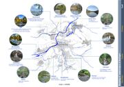 |
384 KB | 1 | |
| 05:49, 26 March 2021 | --Waterscape of Nurtingen.jpg--.jpg (file) |  |
279 KB | 1 |