Uploads by Anna.schneider
Jump to navigation
Jump to search
This special page shows all uploaded files.
| Date | Name | Thumbnail | Size | Description | Versions |
|---|---|---|---|---|---|
| 21:06, 20 May 2022 | Your case spatial your process model.jpg (file) | 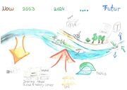 |
1.29 MB | 1 | |
| 21:03, 18 May 2022 | Neckarisland spatial your governance model.jpg (file) | 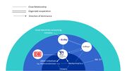 |
81 KB | 1 | |
| 20:41, 18 May 2022 | Anders Neckar.jpeg (file) | 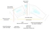 |
82 KB | 1 | |
| 20:27, 18 May 2022 | Couldbe.jpg (file) | 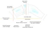 |
82 KB | 3 | |
| 20:09, 16 May 2022 | Folie 8 neckarinsel.jpg (file) | 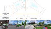 |
153 KB | 1 | |
| 20:01, 16 May 2022 | Level NEckar.jpg (file) | 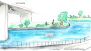 |
182 KB | 2 | |
| 20:00, 16 May 2022 | Zoning Neckar.jpg (file) | 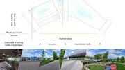 |
153 KB | 2 | |
| 14:41, 16 May 2022 | Fragmentation neckarinsel.JPG (file) | 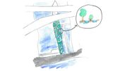 |
97 KB | 1 | |
| 14:41, 16 May 2022 | Cafe Neckarinsel.JPG (file) |  |
113 KB | 1 | |
| 14:40, 16 May 2022 | Skatepark Neckarinsel.JPG (file) |  |
105 KB | 1 | |
| 14:40, 16 May 2022 | Flussufer.Neckar.jpg (file) |  |
113 KB | 2 | |
| 14:38, 16 May 2022 | Folie1 Neckarinsel JPG.jpeg (file) | 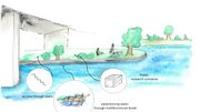 |
150 KB | 1 | |
| 20:26, 14 May 2022 | Stakeholder half onion.jpg (file) | 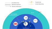 |
89 KB | 1 | |
| 21:36, 10 May 2022 | Momentaufnahme Neckartransect.jpeg (file) | 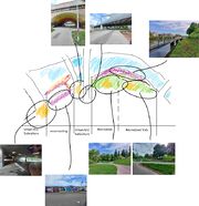 |
609 KB | 1 | |
| 21:25, 10 May 2022 | Flussufer NEckarinsel.png (file) | Error creating thumbnail: File with dimensions greater than 12.5 MP |
1.41 MB | 1 | |
| 05:09, 7 May 2022 | DPSIR Analysis Neckarinsel.png (file) |  |
325 KB | 1 | |
| 22:45, 3 May 2022 | Szenarios page-0002.jpg (file) | 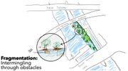 |
686 KB | 1 | |
| 22:45, 3 May 2022 | Szenarios page-0001.jpg (file) | 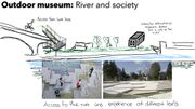 |
922 KB | 1 | |
| 22:01, 3 May 2022 | 10037510 1 articledetail 270-0008-8251528-hin103-2003-hafen-hameln-mafi.jpg (file) | 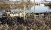 |
217 KB | Abandoned and broken industry on the waterfront. Source: https://www.dewezet.de/region/hameln_artikel,-da-ist-mehr-drin-eine-hafencity-fuer-hameln-_arid,2532781.html | 1 |
| 21:39, 3 May 2022 | Swot.png (file) |  |
772 KB | 2 | |
| 21:34, 3 May 2022 | Institutionelle stakeholder.jpg (file) |  |
441 KB | 1 | |
| 20:18, 3 May 2022 | Surface.png (file) | 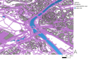 |
1.26 MB | 1 | |
| 20:17, 3 May 2022 | Landuse 1.png (file) | 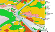 |
910 KB | 1 | |
| 20:17, 3 May 2022 | Itree park.jpg (file) | 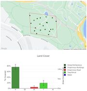 |
182 KB | 1 | |
| 20:15, 3 May 2022 | Itree klein.jpg (file) | 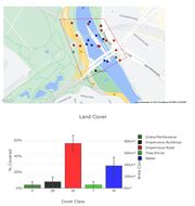 |
199 KB | 1 | |
| 21:07, 2 May 2022 | WhatsApp Image 2022-05-02 at 20.35.28(1).jpeg (file) | 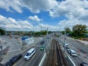 |
391 KB | Usage | 1 |
| 21:06, 2 May 2022 | WhatsApp Image 2022-05-02 at 20.35.30.jpeg (file) | 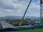 |
370 KB | 1 | |
| 20:17, 2 May 2022 | Staustufen.jpg (file) | 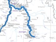 |
396 KB | Extract from the Digital Federal Waterways Map 1:1000 000 (DBWK1000) Source: https://www.wsa-neckar.wsv.de/Webs/WSA/Neckar/DE/Service/Karten/karten_node.html | 1 |
| 09:03, 2 May 2022 | Natureprotection areas.jpg (file) | 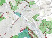 |
517 KB | Nature protection areas Source: https://gis6.stuttgart.de/maps/index.html?karte=umwelt&embedded=false#basemap=0 | 1 |
| 09:02, 2 May 2022 | Vulnerabilität der bevölkerung.jpg (file) | 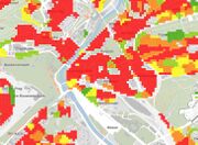 |
274 KB | Vulnerability of residents through climate change Source: https://gis6.stuttgart.de/maps/index.html?karte=umwelt&embedded=false#basemap=0 | 1 |
| 09:02, 2 May 2022 | No2 belastung.jpg (file) | 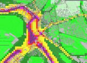 |
461 KB | NO2 pollution Source: https://gis6.stuttgart.de/maps/index.html?karte=umwelt&embedded=false#basemap=0 | 1 |
| 09:01, 2 May 2022 | Wärmebelastung.jpg (file) | 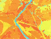 |
204 KB | Heat exposure Source: https://gis6.stuttgart.de/maps/index.html?karte=umwelt&embedded=false#basemap=0 | 1 |
| 09:00, 2 May 2022 | Lärmbelastung.jpg (file) | 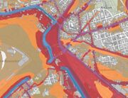 |
392 KB | Noise pollution Source: https://gis6.stuttgart.de/maps/index.html?karte=umwelt&embedded=false#basemap=0 | 1 |
| 09:00, 2 May 2022 | Kaltluft.jpg (file) | 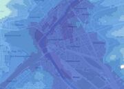 |
146 KB | Cold air corridor | 1 |
| 22:21, 1 May 2022 | Stakeholder.jpg (file) | 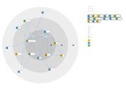 |
512 KB | This graphic shows the stakeholder and how they are interlinked. | 1 |
| 21:44, 1 May 2022 | Präsentation1 page-0001.jpg (file) | 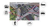 |
759 KB | Who is moving where? | 1 |
| 21:31, 29 April 2022 | UEberflutungsflaechen 2022-04-29(1).png (file) | 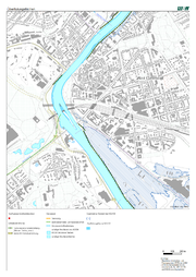 |
931 KB | Modellierte Überflutungsflächen bei einem hundertjährigen Hochwasserstand. Source: https://udo.lubw.baden-wuerttemberg.de/public/pages/map/command/index.xhtml;jsessionid=1C94B4AFAF1C182146B1E4BF0471208B?mapId=616315c2-f0c4-4387-9605-470be8e80302&mapSrs=EPSG%3A25832&mapExtent=514801.2488766373%2C5404853.287472507%2C516809.5778567366%2C5405959.01821823 | 1 |
| 21:28, 29 April 2022 | UEberflutungsflaechen 2022-04-29.png (file) | 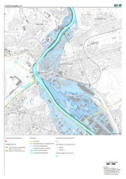 |
1.19 MB | Modelled inundation areas during an extreme flood level. Oversees hundred-year flood level. Source: https://udo.lubw.baden-wuerttemberg.de/public/pages/map/command/index.xhtml;jsessionid=1C94B4AFAF1C182146B1E4BF0471208B?mapId=616315c2-f0c4-4387-9605-470be8e80302&mapSrs=EPSG%3A25832&mapExtent=514883.5188916079%2C5404912.404996926%2C516656.27689987887%2C5405888.436839266 | 1 |
| 21:07, 29 April 2022 | O2 temp.png (file) | 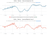 |
140 KB | The graphs show the daily mean values of oxygen content and water temperature of the Neckar for the last 6 weeks, counting backwards from 29.04.2022. Source: https://www.lubw.baden-wuerttemberg.de/wasser/fliessgewaesserdaten?id=2872#diagramm | 1 |
| 21:05, 29 April 2022 | Yearly watertemperature.png (file) | 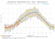 |
230 KB | The graph gives an overview of the changes in watertemperature of the Neckar. Source: https://www.lubw.baden-wuerttemberg.de/wasser/fliessgewaesserdaten?id=2872#diagramm | 1 |
| 21:03, 29 April 2022 | Weather.png (file) | 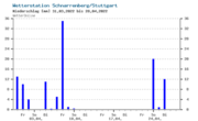 |
91 KB | The grafic shows the perception 31.03.2022 til the 28.04.2022 in Stuttgart (in mm). Source: https://www.wetteronline.de/rueckblick?pcid=pc_rueckblick_data&gid=10738&pid=p_rueckblick_diagram&sid=StationHistory&iid=10739&metparaid=RR24&period=4&month=04&year=2022 | 1 |
| 14:51, 29 April 2022 | WhatsApp Image 2022-04-29 at 16.45.22.jpeg (file) | 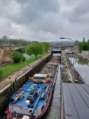 |
289 KB | 1 | |
| 14:51, 29 April 2022 | WhatsApp Image 2022-04-29 at 16.45.22(1).jpeg (file) | 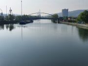 |
159 KB | 1 | |
| 14:47, 29 April 2022 | WhatsApp Image 2022-04-29 at 16.45.22(2).jpeg (file) | 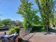 |
527 KB | 1 | |
| 14:46, 29 April 2022 | WhatsApp Image 2022-04-29 at 16.45.23.jpeg (file) | 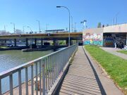 |
333 KB | 1 | |
| 14:42, 29 April 2022 | Ansichtskarte-Cannstatt-Stuttgart-Koenig-Karl-Bruecke-1897.jpg (file) | 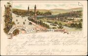 |
84 KB | This postcard is showing the König-Karls-Brücke from 1997. Source: https://imgl.aklex.de/19/15c48a5f4cd84d.jpg | 1 |
| 14:29, 29 April 2022 | Historical development Neckar.mp4 (file) | 938 KB | 1 | ||
| 14:18, 29 April 2022 | Flächennutzung.jpg (file) | 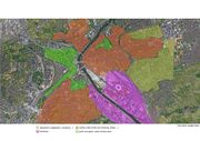 |
174 KB | 1 | |
| 21:52, 27 April 2022 | Catchment area of the Neckar river..jpg (file) | 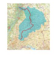 |
217 KB | 1 |