Uploads by David.pulido
Jump to navigation
Jump to search
This special page shows all uploaded files.
| Date | Name | Thumbnail | Size | Description | Versions |
|---|---|---|---|---|---|
| 10:03, 20 June 2021 | Process.jpg (file) |  |
104 KB | 1 | |
| 21:05, 19 June 2021 | Participation into the environment.png (file) |  |
1.21 MB | 1 | |
| 21:05, 19 June 2021 | No Participation into the environment.png (file) |  |
396 KB | 1 | |
| 19:06, 30 May 2021 | Transect sketches purposals.jpg (file) |  |
1.51 MB | 1 | |
| 19:01, 30 May 2021 | Map revised Nb.png (file) |  |
1.59 MB | 1 | |
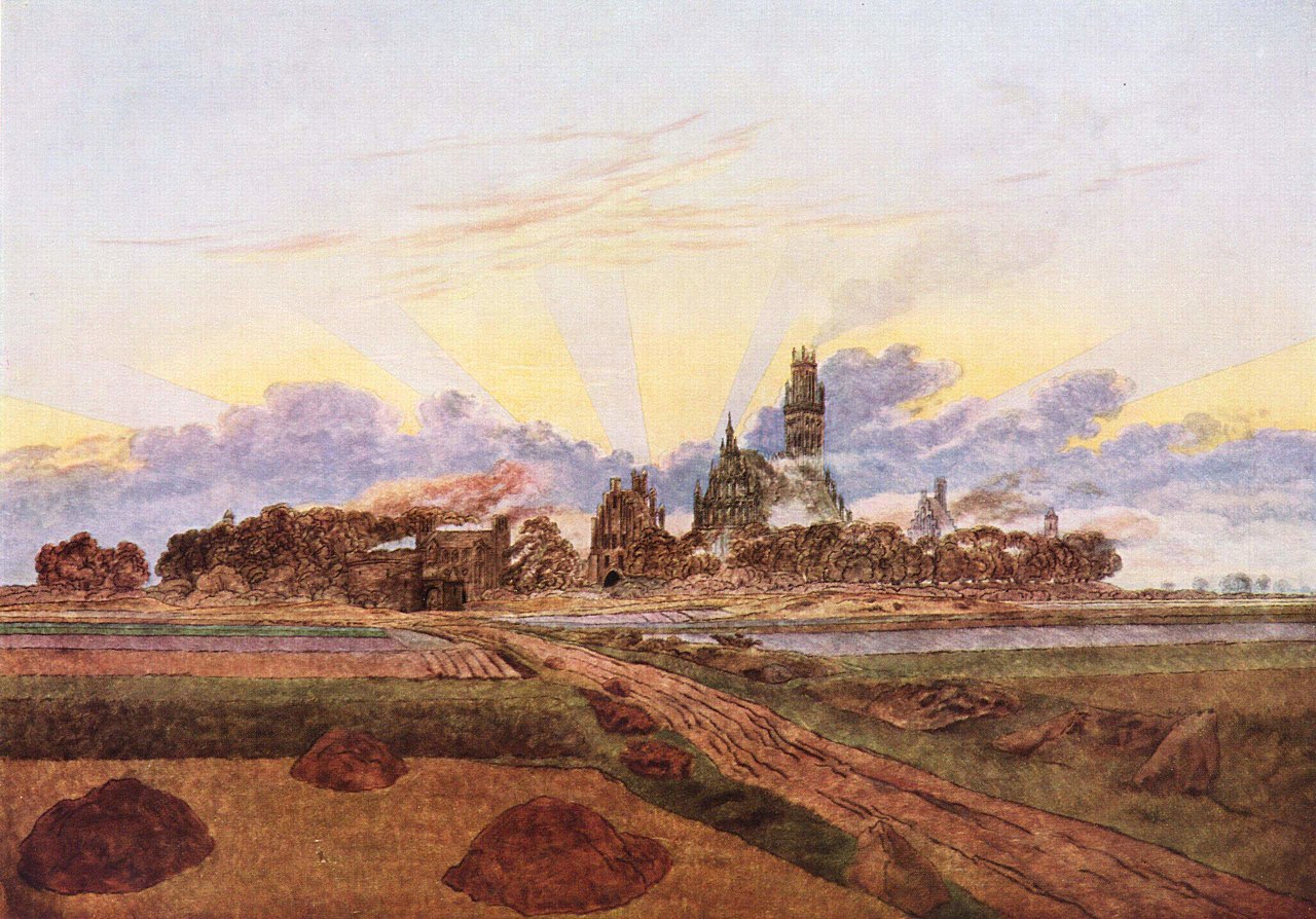
| 17:00, 3 May 2021 | Caspar David Friedrich, Brennendes Neubrandenburg, etwa 1835.jpg (file) |  |
314 KB | 1 | |
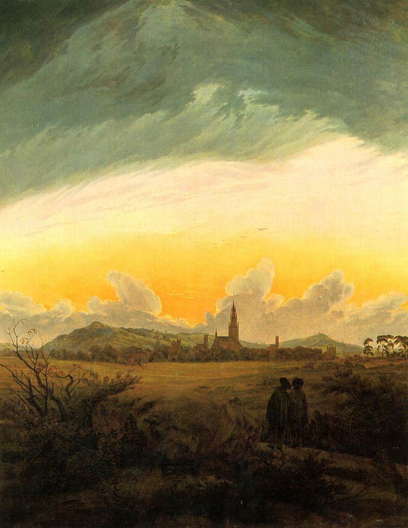
| 17:00, 3 May 2021 | Caspar David Friedrich, Neubrandenburg, 1816.jpg (file) |  |
121 KB | 1 | |
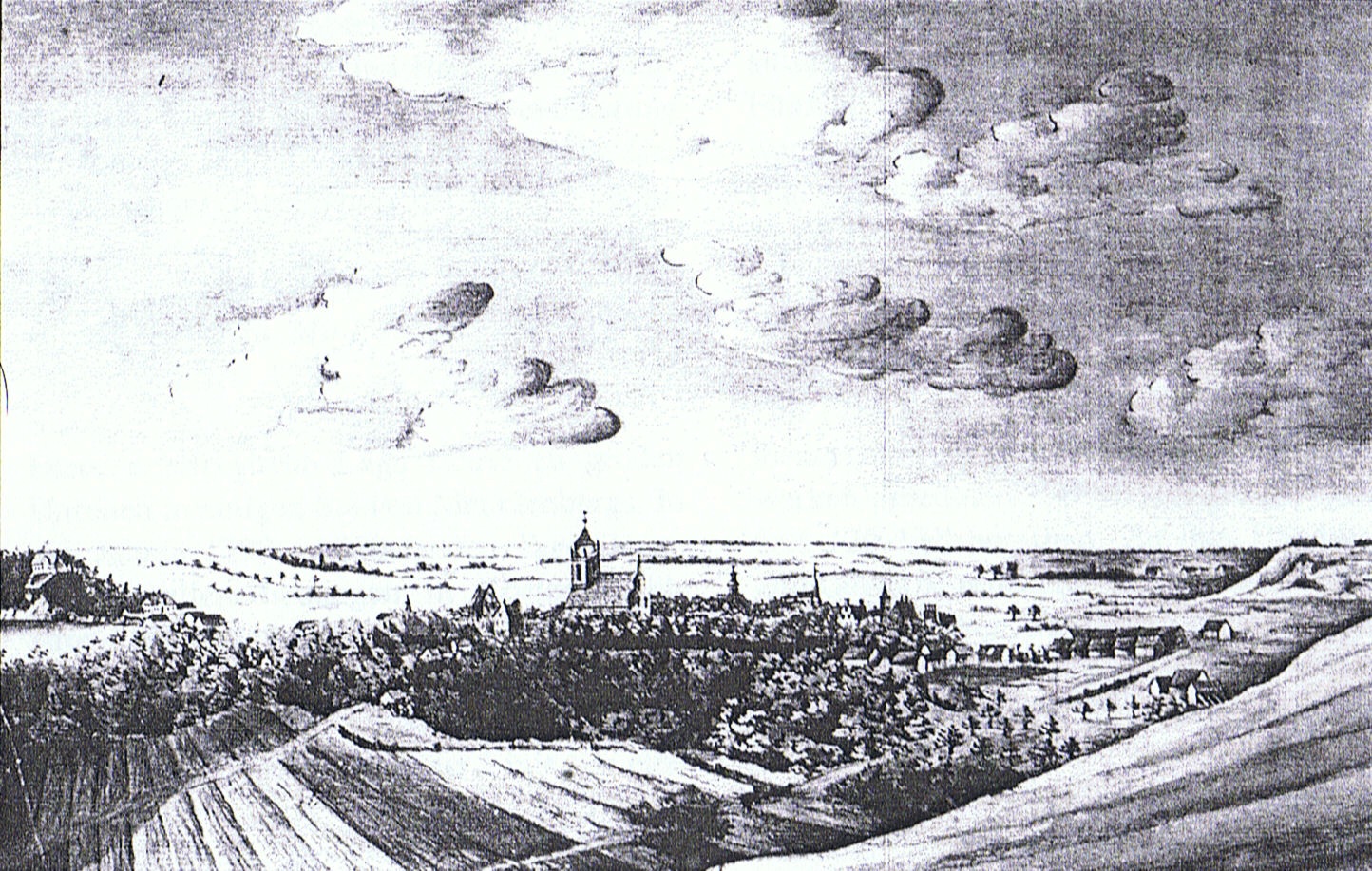
| 16:59, 3 May 2021 | Carl Gotthold Heinrich Arndt, Neubrandenburg, 1775.jpg (file) |  |
591 KB | 1 | |
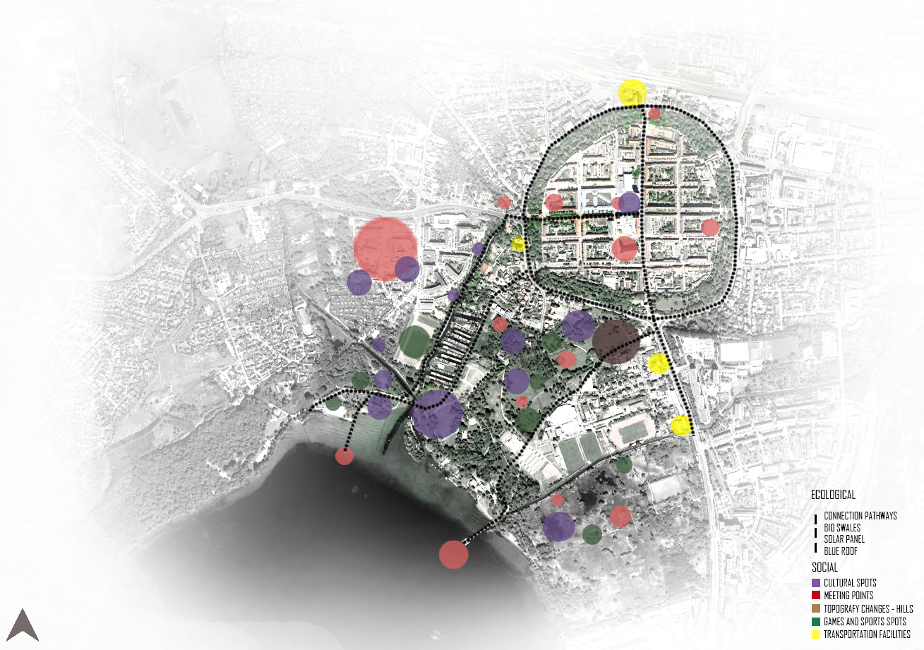
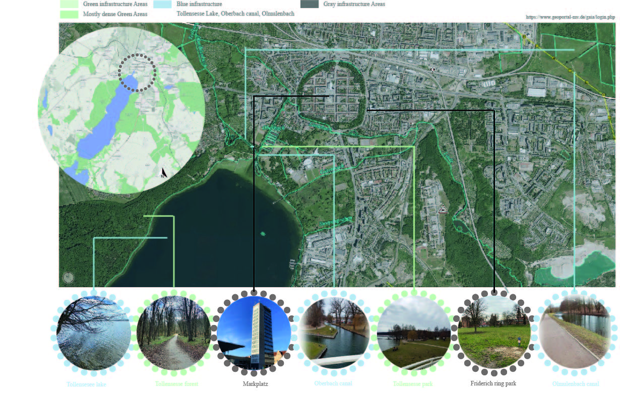
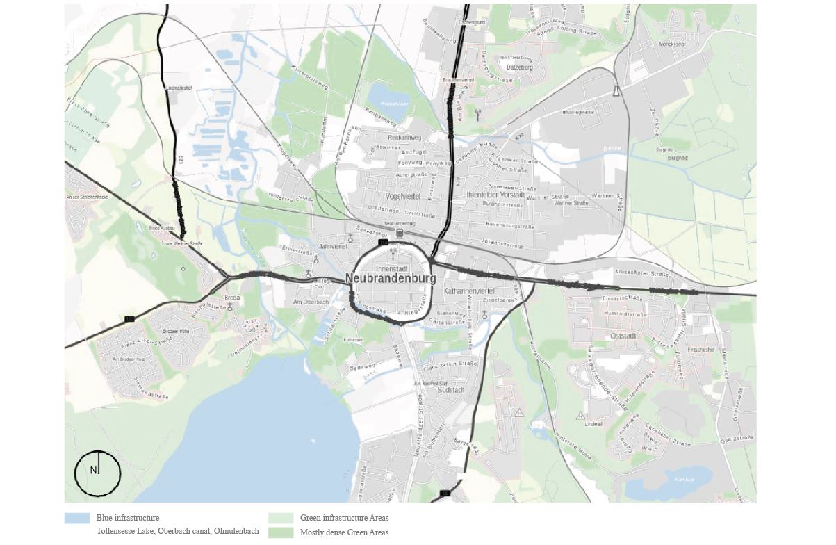
| 16:38, 1 May 2021 | Neubrandenburg Green, blue and gray infrastructure.jpg (file) |  |
1.04 MB | 1 | |
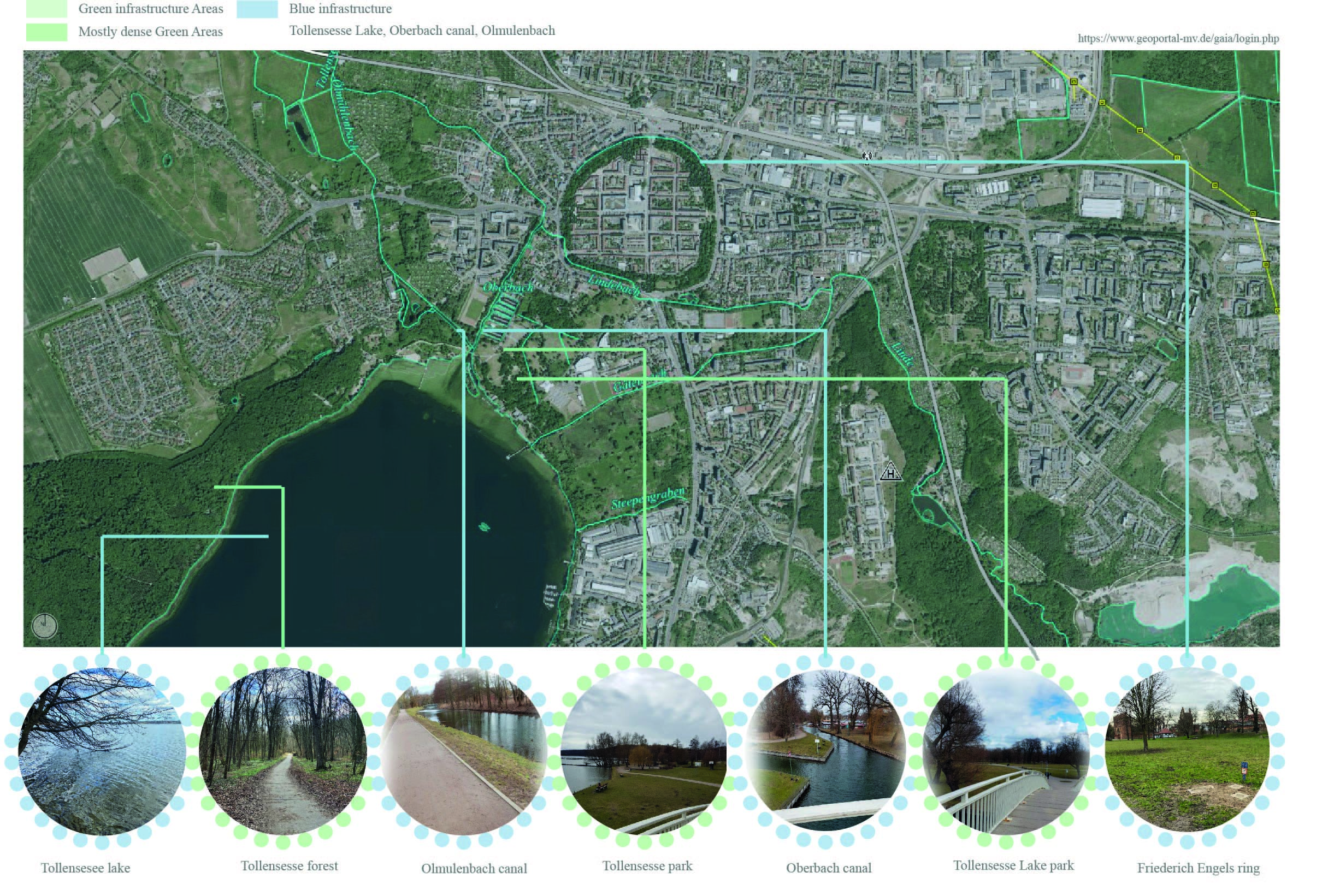
| 14:36, 29 April 2021 | 2-Neubrandenburg Green and blue infrastructure.jpg (file) |  |
1.8 MB | 1 | |
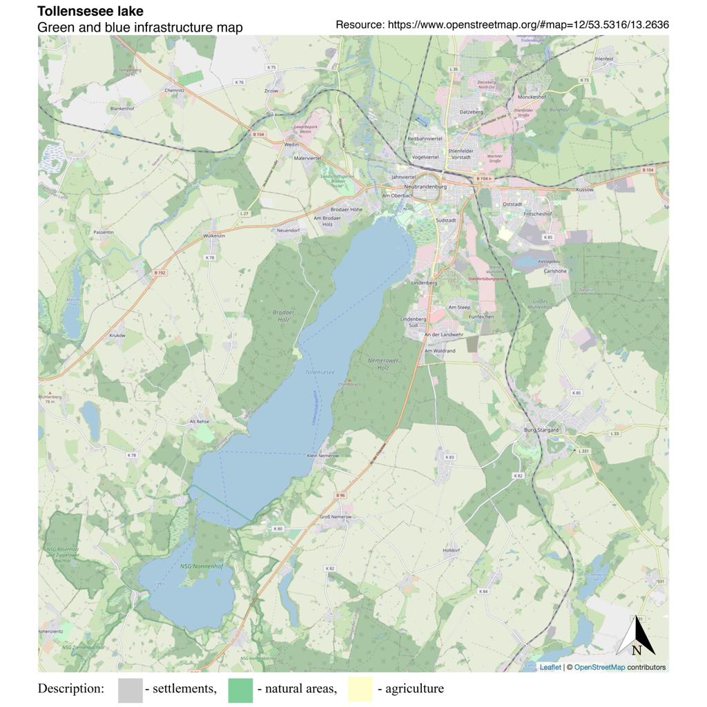
| 13:24, 29 April 2021 | Neubrandenburg Areas for Blue and Green Infraestructure.jpg (file) |  |
129 KB | 1 | |
| 20:55, 17 April 2021 | Neubrandenburg Green and blue infrastructure..png (file) |  |
1.34 MB | The lake Neubrandenburg in Mecklenburg-Vorpommern, Germany, has an elevation of 14.8 m with an approximately area of 17 km². The lake is 10.4 km long and about 1.5 to 2.5 km wide. Neubrandenburg is located in the north part of the Lake and also the r... | 1 |
| 15:27, 16 April 2021 | Neubrandenburg Green and blue infrastructure.JPG (file) |  |
123 KB | The lake Neubrandenburg in Mecklenburg-Vorpommern, Germany, has an elevation of 14.8 m with an approximately area of 17 km². The lake is 10.4 km long and about 1.5 to 2.5 km wide. Neubrandenburg is located in the north part of the Lake and also the r... | 1 |